Bestand:Europe-latcolors.png

Grootte van deze voorvertoning: 555 × 599 pixels. Andere resoluties: 222 × 240 pixels | 445 × 480 pixels | 711 × 768 pixels | 948 × 1.024 pixels | 1.897 × 2.048 pixels.
Oorspronkelijk bestand (1.897 × 2.048 pixels, bestandsgrootte: 313 kB, MIME-type: image/png)
| Dit is een bestand van Wikimedia Commons. Onderstaande beschrijving komt van de beschrijving van het bestand daar. |

|
Deze kaartafbeelding zou opnieuw moeten worden aangemaakt als een SVG-bestand door vectorafbeeldingen te gebruiken. Dit heeft een aantal voordelen; zie Commons:Media for cleanup voor meer informatie. Als er een SVG-formaat van deze afbeelding bestaat, dan deze graag uploaden. Nadat u dit heeft gedaan, gelieve dit sjabloon te vervangen door het sjabloon {{vector version available|nieuwe bestandsnaam.svg}} op deze afbeeldingspagina.
|
Beschrijving
| Beschrijving |
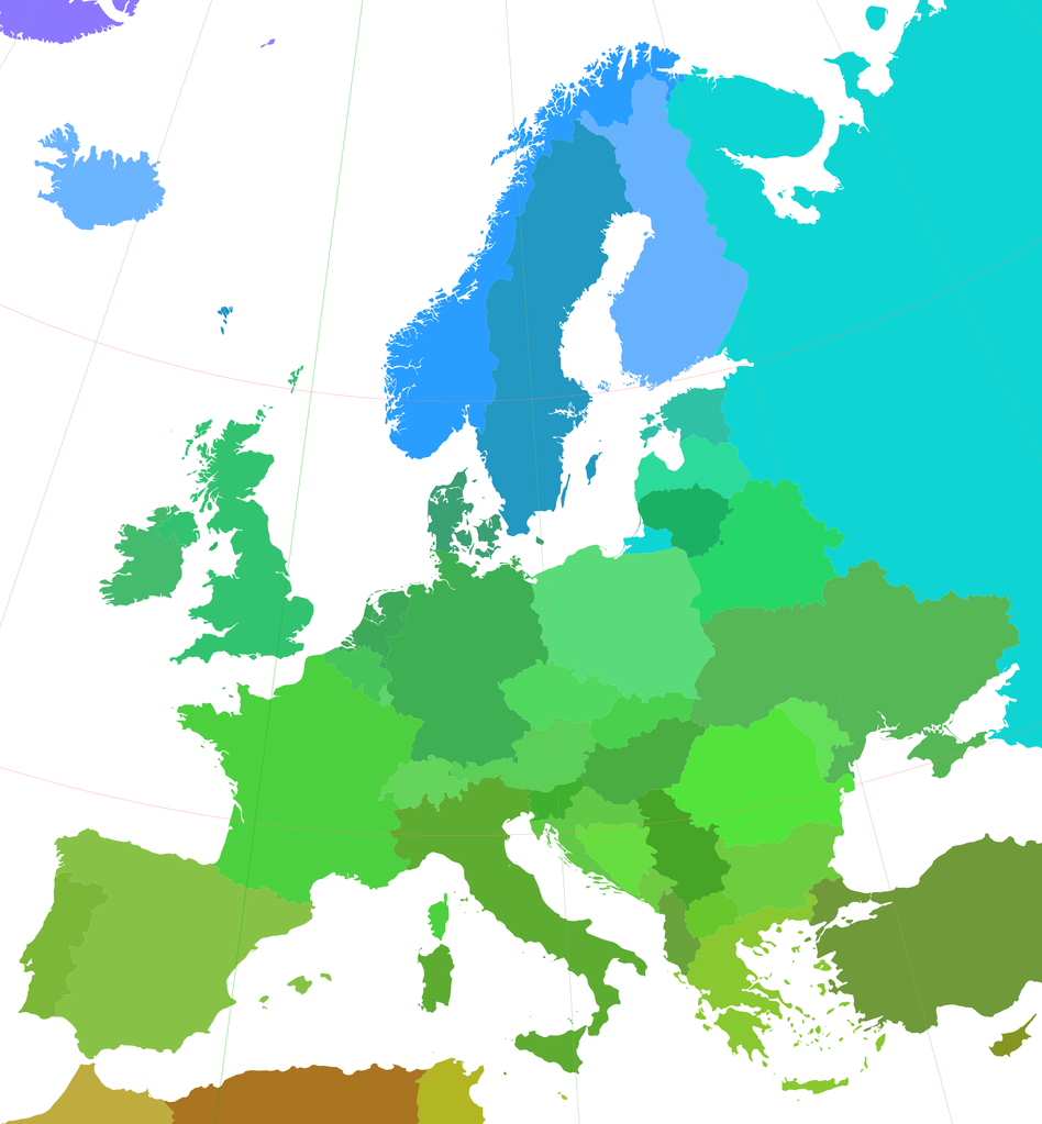
English: A map of Europe using Lambert's Conformal Conical Projection; standard parallels: 40 deg & 56 deg; central meridian: 10 deg |
| Datum | |
| Bron | world_borders.shp; "The world_borders.zip dataset is Shapefile of the world's international borders, derived by Schuyler Erle from public domain sources." |
| Auteur | KoenB |
| Toestemming (Hergebruik van dit bestand) |
public domain |
Licentie
| Dit werk vrijgegeven in het publieke domein door de auteur, I, KoenB. Dit is wereldwijd van toepassing. In sommige landen is dit wettelijk niet mogelijk; in die gevallen geldt: I, KoenB staat iedereen toe dit werk voor eender welk doel te gebruiken, zonder enige voorwaarden, tenzij zulke voorwaarden door de wet worden voorgeschreven. |
Bestandsgeschiedenis
Klik op een datum/tijd om het bestand te zien zoals het destijds was.
| Datum/tijd | Miniatuur | Afmetingen | Gebruiker | Opmerking | |
|---|---|---|---|---|---|
| huidige versie | 31 mei 2015 17:56 | | 1.897 × 2.048 (313 kB) | Cmdrjameson | Compressed with pngout. Reduced by 134kB (30% decrease). |
| 12 jul 2007 21:30 |  | 1.897 × 2.048 (447 kB) | KoenB | {{Information |Description=A map of Europe using Lambert's Conformal Conical Projection; standard parallels: 40 deg & 56 deg; central meridian: 10 deg |Source=world_borders.shp; "The world_borders.zip dataset is Shapefile of the world's international bord |
Bestandsgebruik
Dit bestand wordt op de volgende 2 pagina's gebruikt:
Globaal bestandsgebruik
De volgende andere wiki's gebruiken dit bestand:
- Gebruikt op bg.wikipedia.org