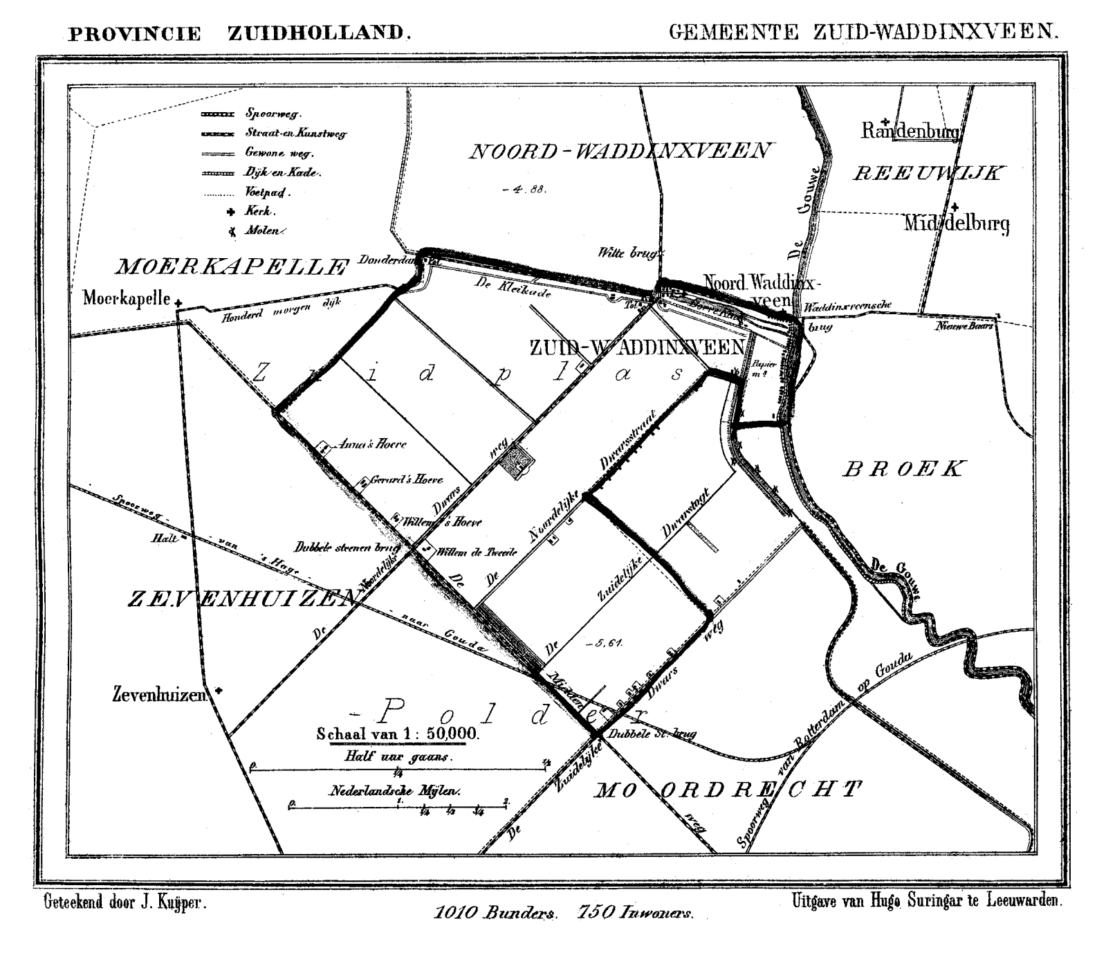
Bestand:Zuid Waddinxveen 1868.png
Oorspronkelijk bestand (1.599 × 1.377 pixels, bestandsgrootte: 155 kB, MIME-type: image/png)
| Dit is een bestand van Wikimedia Commons. Onderstaande beschrijving komt van de beschrijving van het bestand daar. |
Beschrijving
| Beschrijving | Historic map of Zuid Waddinxveen, South Holland, the Netherlands |
| Datum | tussen 1865 en 1870 |
| Bron | Gemeente Atlas van Nederland (Municipal Atlas of the Netherlands) |
| Auteur | J. Kuyper |
Licentie
|
Dit werk bevindt zich in het publiek domein in landen en gebieden waar de auteursrechttermijn het leven van de auteur plus 70 jaar of minder is.
| |
| Van dit bestand is vastgesteld dat er geen bekende auteursrechtaanspraken op rusten, alle aanverwante en naburige rechten daarbij inbegrepen. | |
Bestandsgeschiedenis
Klik op een datum/tijd om het bestand te zien zoals het destijds was.
| Datum/tijd | Miniatuur | Afmetingen | Gebruiker | Opmerking | |
|---|---|---|---|---|---|
| huidige versie | 27 aug 2007 22:19 | | 1.599 × 1.377 (155 kB) | P199 | {{Information |Description=Historic map of Zuid Waddinxveen, South Holland, the Netherlands |Source=Gemeente Atlas van Nederland (Municipal Atlas of the Netherlands) |Date=1865-1870 |Author=J. Kuyper |Permission= |other_versions= }} == Licensing == {{PD- |
Bestandsgebruik
Dit bestand wordt op de volgende 2 pagina's gebruikt:
Globaal bestandsgebruik
De volgende andere wiki's gebruiken dit bestand:
- Gebruikt op fr.wikipedia.org