Bestand:WW Eems-Dollard.png
Grootte van deze voorvertoning: 800 × 529 pixels. Andere resoluties: 320 × 212 pixels | 640 × 423 pixels | 1.024 × 677 pixels.
Oorspronkelijk bestand (1.024 × 677 pixels, bestandsgrootte: 1,6 MB, MIME-type: image/png)
| Dit is een bestand van Wikimedia Commons. Onderstaande beschrijving komt van de beschrijving van het bestand daar. |
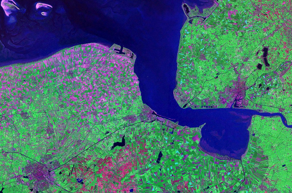
| Beschrijving | Satellite image of the Ems-Dollart estuarium between The Netherlands and Germany. Nasa World Wind Landsat 7 satellite, Geocover 2000 | |||
| Bron | NASA | |||
| Auteur | NASA | |||
| Toestemming (Hergebruik van dit bestand) |
|

Bestandsgeschiedenis
Klik op een datum/tijd om het bestand te zien zoals het destijds was.
| Datum/tijd | Miniatuur | Afmetingen | Gebruiker | Opmerking | |
|---|---|---|---|---|---|
| huidige versie | 29 jul 2007 21:23 | | 1.024 × 677 (1,6 MB) | Hardscarf | {{Information |Description=Satellite image of the Ems-Dollart estuarium between The Netherlands and Germany. Nasa World Wind Landsat 7 satellite, Geocover 2000 |Source=NASA |Date= |Author=NASA |Permission={{PD-Worldwind}} |other_versions= }} [[Category:D |
Bestandsgebruik
Dit bestand wordt op de volgende pagina gebruikt:
Globaal bestandsgebruik
De volgende andere wiki's gebruiken dit bestand:
- Gebruikt op en.wikipedia.org
- Gebruikt op eo.wikipedia.org
- Gebruikt op mk.wikipedia.org
- Gebruikt op no.wikipedia.org