Bestand:US map-East Coast.svg

Afmetingen van deze voorvertoning van het type PNG van dit SVG-bestand: 800 × 495 pixels Andere resoluties: 320 × 198 pixels | 640 × 396 pixels | 1.024 × 633 pixels | 1.280 × 791 pixels | 2.560 × 1.583 pixels | 959 × 593 pixels.
Oorspronkelijk bestand (SVG-bestand, nominaal 959 × 593 pixels, bestandsgrootte: 90 kB)
| Dit is een bestand van Wikimedia Commons. Onderstaande beschrijving komt van de beschrijving van het bestand daar. |
Beschrijving
| Beschrijving |
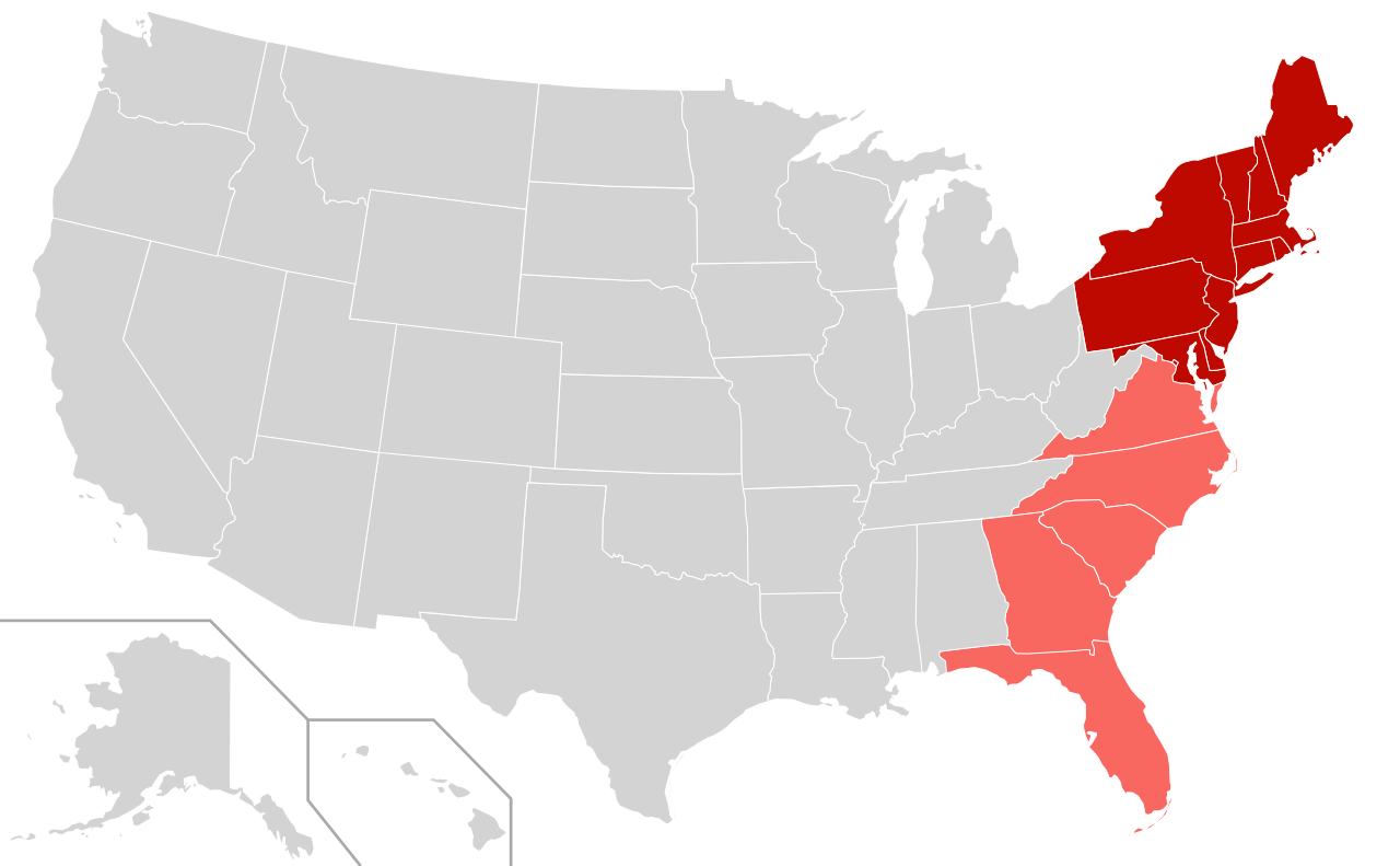
English: Map depicting the East Coast of the United States.
|
| Datum | |
| Bron |
Dit bestand is afgeleid van: |
| Auteur | User:Derfel73; User:Theshibboleth |
Licentie
Dit bestand is gelicenseerd onder de Creative Commons-licentie Naamsvermelding-Gelijk delen 3.0 Unported
- De gebruiker mag:
- Delen – het werk kopiëren, verspreiden en doorgeven
- Remixen – afgeleide werken maken
- Onder de volgende voorwaarden:
- naamsvermelding – U moet op een gepaste manier aan naamsvermelding doen, een link naar de licentie geven, en aangeven of er wijzigingen in het werk zijn aangebracht. U mag dit op elke redelijke manier doen, maar niet zodanig dat de indruk wordt gewekt dat de licentiegever instemt met uw werk of uw gebruik van zijn werk.
- Gelijk delen – Als u het werk heeft geremixt, veranderd, of erop heeft voortgebouwd, moet u het gewijzigde materiaal verspreiden onder dezelfde licentie als het oorspronkelijke werk, of een daarmee compatibele licentie.
en:East Coast of the United States
Bestandsgeschiedenis
Klik op een datum/tijd om het bestand te zien zoals het destijds was.
| Datum/tijd | Miniatuur | Afmetingen | Gebruiker | Opmerking | |
|---|---|---|---|---|---|
| huidige versie | 11 apr 2012 02:09 | | 959 × 593 (90 kB) | Southronite | Reverted to version as of 14:37, 21 August 2011 Southern States not always considered eastern seaboard. |
| 11 apr 2012 02:09 |  | 959 × 593 (90 kB) | Southronite | Reverted to version as of 14:37, 21 August 2011 | |
| 26 aug 2011 03:15 |  | 959 × 593 (140 kB) | Swarm | Simplify map: The division between North and South is completely unnecessary. | |
| 21 aug 2011 16:37 |  | 959 × 593 (90 kB) | Derfel73 | {{Information |Description ={{en|1=The East coast region of the United States; {{legend|#bd0900|East coast sates}} {{legend|#f86860|East coast states also considered part of the South}}}} |Source ={{Derived from|B |
Bestandsgebruik
Dit bestand wordt op de volgende pagina gebruikt:
Globaal bestandsgebruik
De volgende andere wiki's gebruiken dit bestand:
- Gebruikt op en.wikipedia.org
- Gebruikt op et.wikipedia.org
- Gebruikt op fr.wikipedia.org
- Gebruikt op fr.wiktionary.org
- Gebruikt op he.wikipedia.org
- Gebruikt op it.wikipedia.org
- Gebruikt op th.wikipedia.org
- Gebruikt op tr.wikipedia.org