Bestand:Topografie Zuiderveen 1933.png
Oorspronkelijk bestand (808 × 832 pixels, bestandsgrootte: 1,26 MB, MIME-type: image/png)
| Dit is een bestand van Wikimedia Commons. Onderstaande beschrijving komt van de beschrijving van het bestand daar. |
Beschrijving
| Beschrijving |
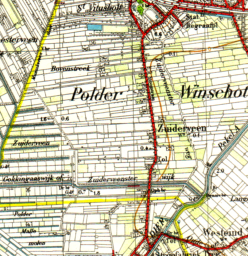
English: Topografical map of Zuiderveen explored in 1932. published in 1933. Copyrights are belonging to the state of the Netherlands. But Map is older than 70 years and therefore it's in the Public domain
Nederlands: Topografische kaart van Zuiderveen bij Winschoten. Verkend in 1932 en uitgegeven in 1933 Auteursrechten voorbehouden aan de Staat der Nederlanden, maar aangezien de kaart ouder is dan 70 jaar verlopen. Daarom valt de kaart in het publieke domein |
| Datum | Verkend in 1932, uitgegeven in 1933 |
| Bron | Topografische kaart 1:50.000 nr 13 Boertange. Verkend in 1932, uitgegeven in 1933 |
| Auteur | Topografische dienst vallend onder het ministerie van Defensie auteursrechten voorbehouden aan de Staat der nederlanden |
| Toestemming (Hergebruik van dit bestand) |
Map older than 70 Years and therefor in the public domain |
Licentie
|
Dit werk bevindt zich in het publiek domein in landen en gebieden waar de auteursrechttermijn het leven van de auteur plus 70 jaar of minder is.
| |
| Van dit bestand is vastgesteld dat er geen bekende auteursrechtaanspraken op rusten, alle aanverwante en naburige rechten daarbij inbegrepen. | |
Bestandsgeschiedenis
Klik op een datum/tijd om het bestand te zien zoals het destijds was.
| Datum/tijd | Miniatuur | Afmetingen | Gebruiker | Opmerking | |
|---|---|---|---|---|---|
| huidige versie | 26 aug 2008 21:00 | | 808 × 832 (1,26 MB) | Roepers | {{Information |Description={{en|1=Topografical map of Zuiderveen explored in 1932. published in 1933. Copyrights are belonging to the state of the Netherlands. But Map is older than 70 years and therefore it's in the Public domain}} {{nl|1=Topografische k |
Bestandsgebruik
Dit bestand wordt op de volgende pagina gebruikt: