Bestand:South Ayrshire UK location map.svg

Afmetingen van deze voorvertoning van het type PNG van dit SVG-bestand: 463 × 599 pixels Andere resoluties: 185 × 240 pixels | 371 × 480 pixels | 594 × 768 pixels | 792 × 1.024 pixels | 1.583 × 2.048 pixels | 1.040 × 1.345 pixels.
Oorspronkelijk bestand (SVG-bestand, nominaal 1.040 × 1.345 pixels, bestandsgrootte: 1,24 MB)
| Dit is een bestand van Wikimedia Commons. Onderstaande beschrijving komt van de beschrijving van het bestand daar. |
| Beschrijving |
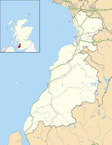
Blank map of South Ayrshire, UK with the following information shown:
Equirectangular map projection on WGS 84 datum, with N/S stretched 170% Geographic limits:
|
| Datum | |
| Bron |
|
| Auteur | Nilfanion, created using Ordnance Survey data |
| Toestemming (Hergebruik van dit bestand) |
Dit bestand is gelicenseerd onder de Creative Commons-licentie Naamsvermelding-Gelijk delen 3.0 Unported Naamsvermelding: Contains Ordnance Survey data © Crown copyright and database right
|
| Andere versies | File:South Ayrshire UK blank map.svg - Blank map |
Bestandsgeschiedenis
Klik op een datum/tijd om het bestand te zien zoals het destijds was.
| Datum/tijd | Miniatuur | Afmetingen | Gebruiker | Opmerking | |
|---|---|---|---|---|---|
| huidige versie | 26 sep 2010 22:24 | | 1.040 × 1.345 (1,24 MB) | Nilfanion | {{Information |Description=Blank map of South Ayrshire, UK with the following information shown: *Administrative borders *Coastline, lakes and rivers *Roads and railways *Urban areas Equirectangular map projection on WGS 84 datum, wi |
Bestandsgebruik
Dit bestand wordt op de volgende 5 pagina's gebruikt:
Globaal bestandsgebruik
De volgende andere wiki's gebruiken dit bestand:
- Gebruikt op ar.wikipedia.org
- Gebruikt op bg.wikipedia.org
- Gebruikt op ceb.wikipedia.org
- Gebruikt op cy.wikipedia.org
- Gebruikt op de.wikipedia.org
- Gebruikt op en.wikipedia.org
- List of monastic houses in Scotland
- South Ayrshire
- Ayr
- Glasgow Prestwick Airport
- Girvan
- Troon
- Alloway
- Prestwick
- Royal Troon Golf Club
- Maybole
- Alloway Auld Kirk
- RAF Prestwick
- Kirkmichael, South Ayrshire
- Straiton
- Barr, Ayrshire
- Annbank
- Blairquhan Castle
- Ballantrae
- Somerset Park
- RAF Heathfield
- Dundonald, South Ayrshire
- Seafield, Ayr
- Kincaidston
- Doonfoot
- Tarbolton
- Belmont, Ayr
- Dunure
- Colmonell
- Mossblown
- Girvan Steeple
- University Hospital Ayr
- Old Dailly
- 2004 Open Championship
- Kirkoswald, South Ayrshire
- Barrhill, South Ayrshire
- Barassie
- RAF Dundonald
- Dailly
- 1997 Open Championship
- 1994 Open Championship
- 1989 Open Championship
- 1986 Open Championship
- 1982 Open Championship
Globaal gebruik van dit bestand bekijken.