Bestand:São Luis do Maranhão em mapa de 1629 por Albernaz I.PNG

Oorspronkelijk bestand (746 × 685 pixels, bestandsgrootte: 1,09 MB, MIME-type: image/png)
| Dit is een bestand van Wikimedia Commons. Onderstaande beschrijving komt van de beschrijving van het bestand daar. |
Beschrijving
| Beschrijving |
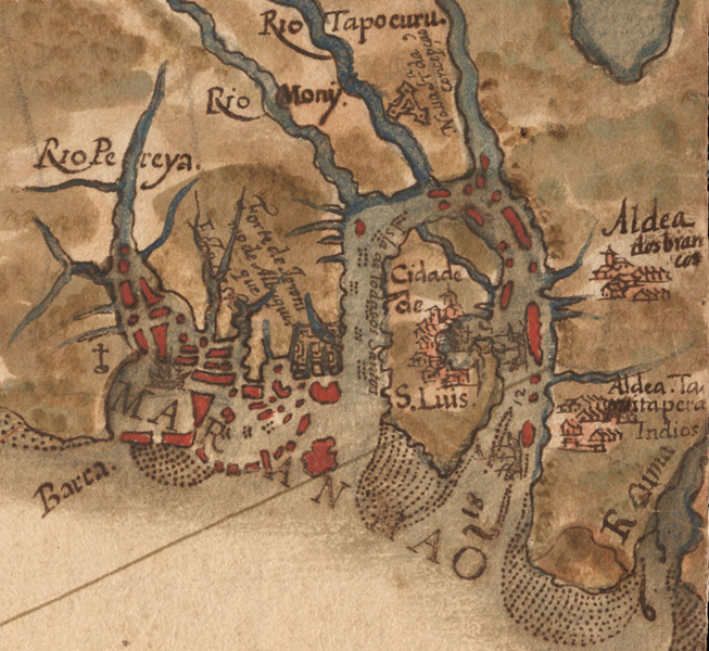
Português: Imagem parcial do "Pequeno atlas do Maranhão e Grão-Pará" mostrando apenas a Cidade de São Luis e arredores |
|||
| Datum | ||||
| Bron | Arquivo digiral da Biblioteca Nacional [1] | |||
| Auteur | Albernaz I, João Teixeira, | |||
| Toestemming (Hergebruik van dit bestand) |
|

Licentie
|
Het tweedimensionale kunstwerk afgebeeld op deze afbeelding valt in het publiek domein omdat:
Reproducties van het werk kunnen ook worden beschouwd als publiek domein omdat ze geen oorspronkelijk karakter hebben. Dit geldt voor reproducties gemaakt in de Verenigde Staten (zie Bridgeman Art Library v. Corel Corp.), Duitsland en veel andere landen.
| ||||
Bestandsgeschiedenis
Klik op een datum/tijd om het bestand te zien zoals het destijds was.
| Datum/tijd | Miniatuur | Afmetingen | Gebruiker | Opmerking | |
|---|---|---|---|---|---|
| huidige versie | 25 jan 2009 02:25 | | 746 × 685 (1,09 MB) | Davidandrade | {{Information |Description= |Source= |Date= |Author= |Permission= |other_versions= }} |
| 24 jan 2009 17:42 |  | 537 × 489 (522 kB) | Davidandrade | {{Information |Description={{pt|1=Imagem parcial do "Pequeno atlas do Maranhão e Grão-Pará" mostrando apenas a Cidade de São Luis e arredores}} |Source=Arquivo digiral da Biblioteca Nacional [http://objdigital.bn.br/acervo_digital/div_cartografia/cart |
Bestandsgebruik
Dit bestand wordt op de volgende pagina gebruikt:
Globaal bestandsgebruik
De volgende andere wiki's gebruiken dit bestand:
- Gebruikt op ca.wikipedia.org
- Gebruikt op en.wikipedia.org
- Gebruikt op fr.wikipedia.org
- Gebruikt op hr.wikipedia.org
- Gebruikt op pl.wikipedia.org
- Gebruikt op pt.wikipedia.org