Bestand:North Macedonia relief location map.jpg

Grootte van deze voorvertoning: 724 × 600 pixels. Andere resoluties: 290 × 240 pixels | 580 × 480 pixels | 927 × 768 pixels | 1.236 × 1.024 pixels | 1.368 × 1.133 pixels.
Oorspronkelijk bestand (1.368 × 1.133 pixels, bestandsgrootte: 332 kB, MIME-type: image/jpeg)
| Dit is een bestand van Wikimedia Commons. Onderstaande beschrijving komt van de beschrijving van het bestand daar. |
Beschrijving
| Cameralocatie | | Deze en andere afbeeldingen in: OpenStreetMap |
|---|
| Beschrijving |
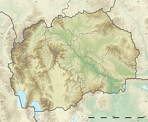
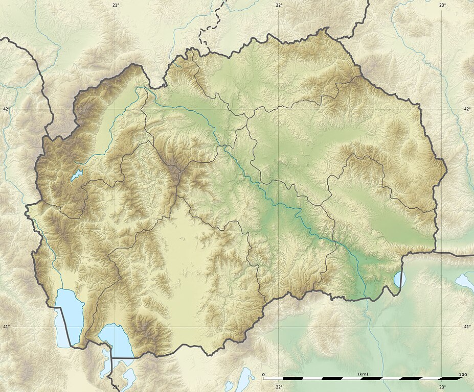
English: Blank physical map of the North Macedonia, for geo-location purpose.
Français : Carte physique vierge de la Macédoine du Nord, destinée à la géolocalisation. Equirectangular projection, WGS84 datum
Geographic limits of the map:
|
||
| Datum | |||
| Bron |
|
||
| Auteur | Eric Gaba (Sting - fr:Sting) and NordNordWest | ||
| Toestemming (Hergebruik van dit bestand) |
|
||
| Andere versies |
Afgeleide werken van dit bestand:
|


|
Deze kaart is gemaakt of verbeterd in de Duitse Kartenwerkstatt (Map Lab). Je kunt ook zelf kaarten ter verbetering voorstellen.
|
Licentie
Ik, de auteursrechthebbende van dit werk, maak het hierbij onder de volgende licenties beschikbaar:

|
Toestemming wordt verleend voor het kopiëren, verspreiden en/of wijzigen van dit document onder de voorwaarden van de GNU-licentie voor vrije documentatie, versie 1.2 of enige latere versie als gepubliceerd door de Free Software Foundation; zonder Invariant Sections, zonder Front-Cover Texts, en zonder Back-Cover Texts. Een kopie van de licentie is opgenomen in de sectie GNU-licentie voor vrije documentatie. |
Dit bestand is gelicenseerd onder de Creative Commons-licentie Naamsvermelding-Gelijk delen 3.0 Unported
- De gebruiker mag:
- Delen – het werk kopiëren, verspreiden en doorgeven
- Remixen – afgeleide werken maken
- Onder de volgende voorwaarden:
- naamsvermelding – U moet op een gepaste manier aan naamsvermelding doen, een link naar de licentie geven, en aangeven of er wijzigingen in het werk zijn aangebracht. U mag dit op elke redelijke manier doen, maar niet zodanig dat de indruk wordt gewekt dat de licentiegever instemt met uw werk of uw gebruik van zijn werk.
- Gelijk delen – Als u het werk heeft geremixt, veranderd, of erop heeft voortgebouwd, moet u het gewijzigde materiaal verspreiden onder dezelfde licentie als het oorspronkelijke werk, of een daarmee compatibele licentie.
U mag zelf één van de licenties kiezen.
Bestandsgeschiedenis
Klik op een datum/tijd om het bestand te zien zoals het destijds was.
| Datum/tijd | Miniatuur | Afmetingen | Gebruiker | Opmerking | |
|---|---|---|---|---|---|
| huidige versie | 10 jul 2010 17:09 | | 1.368 × 1.133 (332 kB) | Sting | == {{int:filedesc}} == {{Location|41|36|00|N|21|45|00|E|scale:1000000}} <br/> {{Information |Description={{en|Blank physical map of the Republic of Macedonia, for geo-location purpose.}} {{fr|Carte physique vierge de la [[:fr |
Bestandsgebruik
Dit bestand wordt op de volgende 13 pagina's gebruikt:
Globaal bestandsgebruik
De volgende andere wiki's gebruiken dit bestand:
- Gebruikt op als.wikipedia.org
- Gebruikt op ar.wikipedia.org
- Gebruikt op ast.wikipedia.org
- Gebruikt op az.wikipedia.org
- Şablon:Yer xəritəsi Şimali Makedoniya
- Pelister Milli Parkı
- Vodno
- Şar dağları
- Qolen Qrad
- Yakupisa
- Baba dağı (Şimali Makedoniya)
- Yablanitsa
- Kojuf
- Korab şəlaləsi
- Lyubotin dağı
- Stoqovo
- Plaçkovisa
- Boqovin gölü
- Smolar şəlaləsi
- Vrelo mağarası
- Peşna mağarası
- Pelisterin gözləri
- Kozyak SES
- Oxrid-Prespa qoruğu
- Gebruikt op ban.wikipedia.org
- Gebruikt op ba.wikipedia.org
- Gebruikt op be-tarask.wikipedia.org
- Gebruikt op be.wikipedia.org
- Gebruikt op bg.wikipedia.org
Globaal gebruik van dit bestand bekijken.