Bestand:North Lanarkshire UK relief location map.jpg
Grootte van deze voorvertoning: 509 × 600 pixels. Andere resoluties: 204 × 240 pixels | 407 × 480 pixels | 652 × 768 pixels | 869 × 1.024 pixels | 2.001 × 2.357 pixels.
Oorspronkelijk bestand (2.001 × 2.357 pixels, bestandsgrootte: 404 kB, MIME-type: image/jpeg)
| Dit is een bestand van Wikimedia Commons. Onderstaande beschrijving komt van de beschrijving van het bestand daar. |
| Beschrijving |
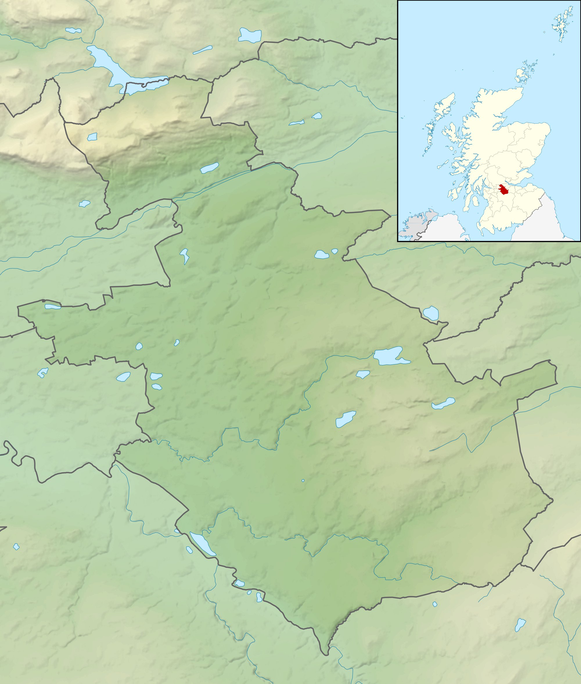
Relief map of North Lanarkshire, UK. Equirectangular map projection on WGS 84 datum, with N/S stretched 175% Geographic limits:
|
| Datum | |
| Bron |
|
| Auteur | Nilfanion, created using Ordnance Survey data |
| Toestemming (Hergebruik van dit bestand) |
Dit bestand is gelicenseerd onder de Creative Commons-licentie Naamsvermelding-Gelijk delen 3.0 Unported Naamsvermelding: Contains Ordnance Survey data © Crown copyright and database right
|
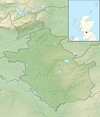
| Andere versies | File:North Lanarkshire UK blank map.svg - Blank map |
Bestandsgeschiedenis
Klik op een datum/tijd om het bestand te zien zoals het destijds was.
| Datum/tijd | Miniatuur | Afmetingen | Gebruiker | Opmerking | |
|---|---|---|---|---|---|
| huidige versie | 30 nov 2011 14:25 | | 2.001 × 2.357 (404 kB) | Nilfanion | {{Information |Description=Relief map of North Lanarkshire, UK. Equirectangular map projection on WGS 84 datum, with N/S stretched 175% Geographic limits: *West: 4.21W *East: 3.69W *North: 56.07N *South: 55.72N |Source=[[w:Ordnan |
Bestandsgebruik
Dit bestand wordt op de volgende pagina gebruikt:
Globaal bestandsgebruik
De volgende andere wiki's gebruiken dit bestand:
- Gebruikt op ar.wikipedia.org
- Gebruikt op bg.wikipedia.org
- Gebruikt op ceb.wikipedia.org
- Gebruikt op de.wikipedia.org
- Gebruikt op en.wikipedia.org
- Gebruikt op fr.wikipedia.org
- Gebruikt op ja.wikipedia.org
- Gebruikt op kn.wikipedia.org
- Gebruikt op pl.wikipedia.org
- Gebruikt op pl.wikibooks.org
- Gebruikt op sco.wikipedia.org
- Gebruikt op simple.wikipedia.org
- Gebruikt op si.wikipedia.org
- Gebruikt op tr.wikipedia.org
- Gebruikt op uz.wikipedia.org
- Gebruikt op war.wikipedia.org
- Gebruikt op zh.wikipedia.org