Bestand:Netherlands Utrecht location map.svg

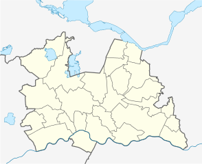
Afmetingen van deze voorvertoning van het type PNG van dit SVG-bestand: 735 × 599 pixels Andere resoluties: 294 × 240 pixels | 589 × 480 pixels | 942 × 768 pixels | 1.256 × 1.024 pixels | 2.512 × 2.048 pixels | 1.002 × 817 pixels.
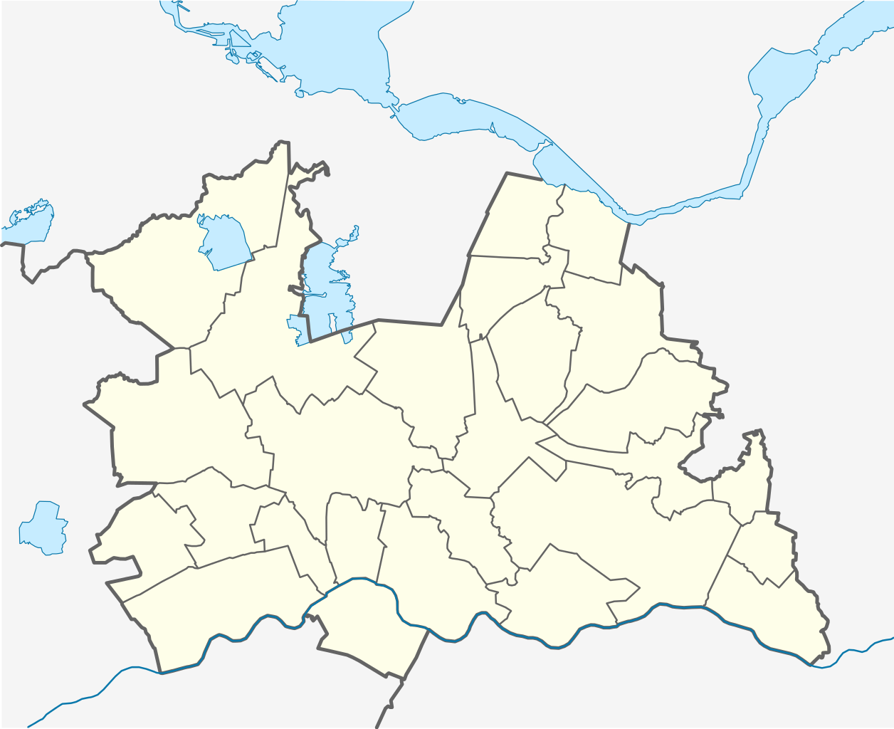
Oorspronkelijk bestand (SVG-bestand, nominaal 1.002 × 817 pixels, bestandsgrootte: 84 kB)
| Dit is een bestand van Wikimedia Commons. Onderstaande beschrijving komt van de beschrijving van het bestand daar. |
Beschrijving
| Beschrijving |
English: Location map of province Utrecht in the Netherlands
Equirectangular projection, N/S stretching 163 %. Geographic limits of the map:
Deutsch: Positionskarte von der Provinz Utrecht in den Niederlanden
Quadratische Plattkarte, N-S-Streckung 163 %. Geographische Begrenzung der Karte:
|
| Datum | |
| Bron | Eigen werk |
| Auteur | Erik Frohne |
| Andere versies | File:OSM - provincie Utrecht.PNG |

|
Deze kaart is gemaakt of verbeterd in de Duitse Kartenwerkstatt (Map Lab). Je kunt ook zelf kaarten ter verbetering voorstellen.
|
Licentie
Ik, de auteursrechthebbende van dit werk, maak het hierbij onder de volgende licenties beschikbaar:

|
Toestemming wordt verleend voor het kopiëren, verspreiden en/of wijzigen van dit document onder de voorwaarden van de GNU-licentie voor vrije documentatie, versie 1.2 of enige latere versie als gepubliceerd door de Free Software Foundation; zonder Invariant Sections, zonder Front-Cover Texts, en zonder Back-Cover Texts. Een kopie van de licentie is opgenomen in de sectie GNU-licentie voor vrije documentatie. |
Dit bestand is gelicenseerd onder de Creative Commons-licentie Naamsvermelding-Gelijk delen 3.0 Unported
- De gebruiker mag:
- Delen – het werk kopiëren, verspreiden en doorgeven
- Remixen – afgeleide werken maken
- Onder de volgende voorwaarden:
- naamsvermelding – U moet op een gepaste manier aan naamsvermelding doen, een link naar de licentie geven, en aangeven of er wijzigingen in het werk zijn aangebracht. U mag dit op elke redelijke manier doen, maar niet zodanig dat de indruk wordt gewekt dat de licentiegever instemt met uw werk of uw gebruik van zijn werk.
- Gelijk delen – Als u het werk heeft geremixt, veranderd, of erop heeft voortgebouwd, moet u het gewijzigde materiaal verspreiden onder dezelfde licentie als het oorspronkelijke werk, of een daarmee compatibele licentie.
U mag zelf één van de licenties kiezen.
Bestandsgeschiedenis
Klik op een datum/tijd om het bestand te zien zoals het destijds was.
| Datum/tijd | Miniatuur | Afmetingen | Gebruiker | Opmerking | |
|---|---|---|---|---|---|
| huidige versie | 29 dec 2013 20:25 | | 1.002 × 817 (84 kB) | NordNordWest | update 2013 |
| 9 apr 2009 14:40 |  | 1.002 × 817 (158 kB) | Erik Frohne | Correction of drawing frame (oops) | |
| 9 apr 2009 14:38 |  | 470 × 1.000 (158 kB) | Erik Frohne | {{Information |Description={{en|1=Location map of province Utrecht in the Netherlands Equirectangular projection, N/S stretching 163 %. Geographic limits of the map: * N: 52.40° N * S: 51.90° N * W: 4.70° E * E: 5.70° E}} {{de|1=Positionskarte von |
Bestandsgebruik
Geen enkele pagina gebruikt dit bestand.
Globaal bestandsgebruik
De volgende andere wiki's gebruiken dit bestand:
- Gebruikt op cs.wikipedia.org
- Gebruikt op eo.wikipedia.org
- Gebruikt op es.wikipedia.org
- Gebruikt op gl.wikipedia.org
- Gebruikt op he.wikipedia.org
- Gebruikt op kbd.wikipedia.org
- Gebruikt op os.wikipedia.org
- Gebruikt op pl.wikipedia.org
- Woerden
- Utrecht
- Amersfoort
- Zeist
- Utrecht Centraal
- Stadion Galgenwaard
- Woerden (stacja kolejowa)
- Amersfoort (stacja kolejowa)
- Baarn (stacja kolejowa)
- Veenendaal
- Baarn
- Nieuwegein
- Archikatedra św. Gertrudy w Utrechcie
- Soest (Holandia)
- Katedra św. Katarzyny w Utrechcie
- Amerongen
- Doorn
- Rhenen
- Archidiecezja Utrechtu
- Parafia św. Gertrudy w Utrechcie
- Dom Rietvelda w Utrechcie
- Pałac Soestdijk
- Maarssen
Globaal gebruik van dit bestand bekijken.