Bestand:Mashonaland.svg

Afmetingen van deze voorvertoning van het type PNG van dit SVG-bestand: 250 × 228 pixels Andere resoluties: 263 × 240 pixels | 526 × 480 pixels | 842 × 768 pixels | 1.123 × 1.024 pixels | 2.246 × 2.048 pixels.
Oorspronkelijk bestand (SVG-bestand, nominaal 250 × 228 pixels, bestandsgrootte: 30 kB)
| Dit is een bestand van Wikimedia Commons. Onderstaande beschrijving komt van de beschrijving van het bestand daar. |
Beschrijving
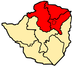
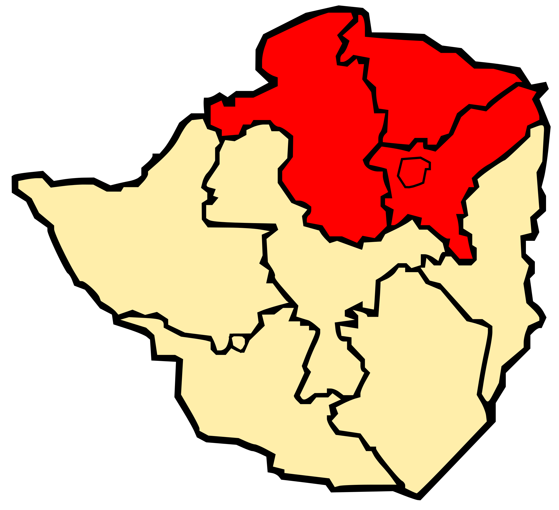
| Beschrijving | Map of Zimbabwe showing Mashonaland |
| Datum | |
| Bron | Eigen werk |
| Auteur | Mangwanani using Inkscape |
Licentie
| Ik, de auteursrechthebbende van dit werk, geef dit werk vrij in het publieke domein. Dit is wereldwijd van toepassing. In sommige landen is dit wettelijk niet mogelijk; in die gevallen geldt: Ik sta iedereen toe dit werk voor eender welk doel te gebruiken, zonder enige voorwaarden, tenzij zulke voorwaarden door de wet worden voorgeschreven. |
Bestandsgeschiedenis
Klik op een datum/tijd om het bestand te zien zoals het destijds was.
| Datum/tijd | Miniatuur | Afmetingen | Gebruiker | Opmerking | |
|---|---|---|---|---|---|
| huidige versie | 4 mrt 2008 19:25 | | 250 × 228 (30 kB) | Mangwanani | == Summary == {{Information |Description=Map of Zimbabwe showing Mashonaland |Source=Self made |Date=3 March 2008 |Author=Mangwanani using Inkscape |Permission= |other_versions= }} == Licensing == {{PD-self}} Category:Maps of Zimbabwe |
Bestandsgebruik
Dit bestand wordt op de volgende pagina gebruikt:
Globaal bestandsgebruik
De volgende andere wiki's gebruiken dit bestand:
- Gebruikt op af.wikipedia.org
- Gebruikt op da.wikipedia.org
- Gebruikt op en.wikipedia.org
- Gebruikt op fr.wikipedia.org
- Gebruikt op fr.wiktionary.org
- Gebruikt op ha.wikipedia.org
- Gebruikt op id.wikipedia.org
- Gebruikt op it.wikipedia.org
- Gebruikt op lt.wikipedia.org
- Gebruikt op no.wikipedia.org
- Gebruikt op pt.wikipedia.org
- Gebruikt op ru.wikipedia.org
- Gebruikt op sv.wikipedia.org
- Gebruikt op ug.wikipedia.org
- Gebruikt op ur.wikipedia.org
- Gebruikt op yo.wikipedia.org
- Gebruikt op zh.wikipedia.org