Bestand:Map of Fountain County, Indiana.svg

Afmetingen van deze voorvertoning van het type PNG van dit SVG-bestand: 600 × 600 pixels Andere resoluties: 240 × 240 pixels | 480 × 480 pixels | 768 × 768 pixels | 1.024 × 1.024 pixels | 2.048 × 2.048 pixels.
Oorspronkelijk bestand (SVG-bestand, nominaal 768 × 768 pixels, bestandsgrootte: 389 kB)
| Dit is een bestand van Wikimedia Commons. Onderstaande beschrijving komt van de beschrijving van het bestand daar. |
Beschrijving
| Beschrijving |
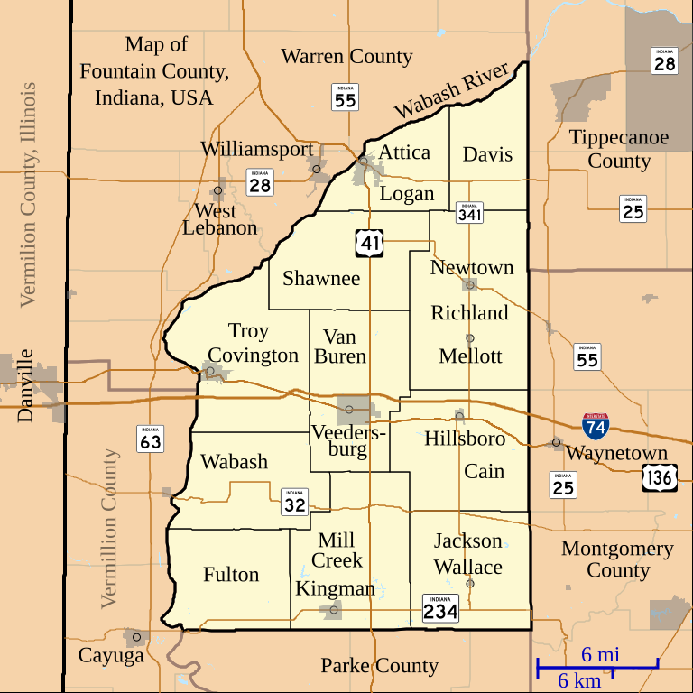
English: This is a map of Fountain County, Indiana, USA which includes incorporated settlement and township borders. |
| Datum | |
| Bron | My own work, using custom-written MapScript applications with United States Census Bureau data |
| Auteur | Omnedon |
Licentie
| Ik, de auteursrechthebbende van dit werk, geef dit werk vrij in het publieke domein. Dit is wereldwijd van toepassing. In sommige landen is dit wettelijk niet mogelijk; in die gevallen geldt: Ik sta iedereen toe dit werk voor eender welk doel te gebruiken, zonder enige voorwaarden, tenzij zulke voorwaarden door de wet worden voorgeschreven. |
Bestandsgeschiedenis
Klik op een datum/tijd om het bestand te zien zoals het destijds was.
| Datum/tijd | Miniatuur | Afmetingen | Gebruiker | Opmerking | |
|---|---|---|---|---|---|
| huidige versie | 14 feb 2011 06:00 | | 768 × 768 (389 kB) | Omnedon | == {{int:filedesc}} == {{Information |Description={{en|This is a map of Fountain County, Indiana, USA which includes incorporated settlement and township borders.}} |Source=My own work, using custom-written MapScript applic |
Bestandsgebruik
Dit bestand wordt op de volgende pagina gebruikt:
Globaal bestandsgebruik
De volgende andere wiki's gebruiken dit bestand:
- Gebruikt op en.wikipedia.org
- Gebruikt op ja.wikipedia.org