Bestand:Jackson Glacier terminus.jpg
Grootte van deze voorvertoning: 800 × 540 pixels. Andere resoluties: 320 × 216 pixels | 640 × 432 pixels | 900 × 608 pixels.
Oorspronkelijk bestand (900 × 608 pixels, bestandsgrootte: 131 kB, MIME-type: image/jpeg)
| Dit is een bestand van Wikimedia Commons. Onderstaande beschrijving komt van de beschrijving van het bestand daar. |
Beschrijving
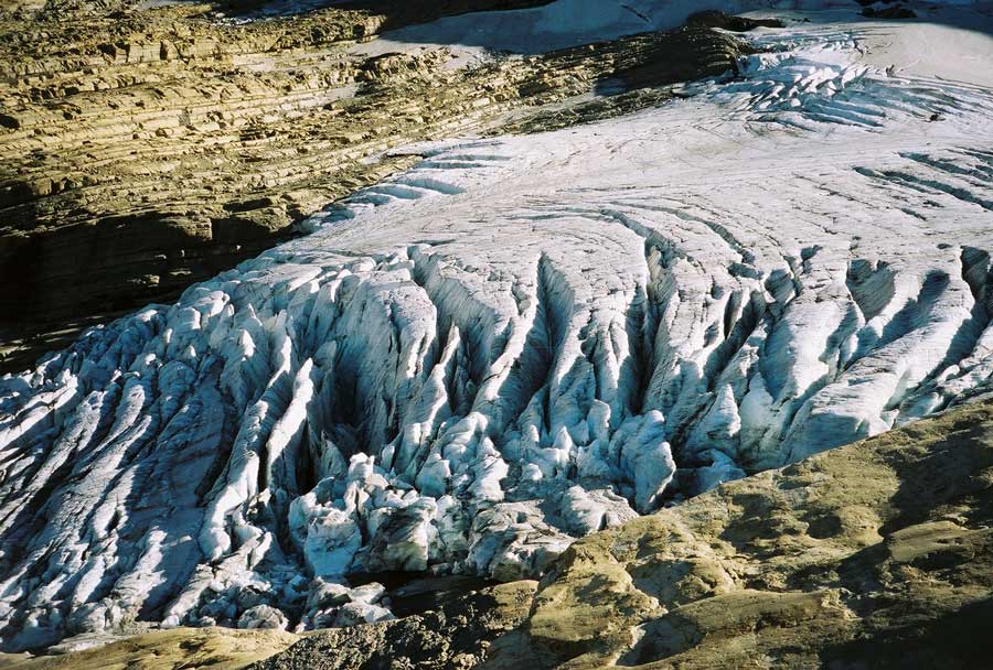
| Beschrijving | Image of the terminal end of Jackson Glacier in Glacier National Park (U.S.) |
| Bron | United States Geological Survey...from the following link [1], enlarged at [2] |
| Auteur | USGS |
![[2]](https://www.nrmsc.usgs.gov/images/gcc/Jackson_terminus.jpg)
| Cameralocatie | | Deze en andere afbeeldingen in: OpenStreetMap |
|---|
Licentie
Deze afbeelding bevindt zich in het publiek domein omdat het materiaal bevat dat oorspronkelijk afkomstig is van de United States Geological Survey, een agentschap van de United States Department of the Interior. Voor meer informatie, zie het officiële USGS-auteursrechtenbeleid
|
Bestandsgeschiedenis
Klik op een datum/tijd om het bestand te zien zoals het destijds was.
| Datum/tijd | Miniatuur | Afmetingen | Gebruiker | Opmerking | |
|---|---|---|---|---|---|
| huidige versie | 20 jan 2008 02:16 | | 900 × 608 (131 kB) | MONGO | {{Information |Description=Image of the terminal end of Jackson Glacier in Glacier National Park (U.S.) |Source=United States Geological Survey...from the following link [http://www.nrmsc.usgs.g |
Bestandsgebruik
Dit bestand wordt op de volgende pagina gebruikt:
Globaal bestandsgebruik
De volgende andere wiki's gebruiken dit bestand:
- Gebruikt op as.wikipedia.org
- Gebruikt op ceb.wikipedia.org
- Gebruikt op cy.wikipedia.org
- Gebruikt op el.wikipedia.org
- Gebruikt op en.wikipedia.org
- Gebruikt op en.wikiversity.org
- Gebruikt op eo.wikipedia.org
- Gebruikt op fa.wikipedia.org
- Gebruikt op fr.wikipedia.org
- Gebruikt op fy.wikipedia.org
- Gebruikt op hr.wikipedia.org
- Gebruikt op hy.wikipedia.org
- Gebruikt op ku.wikipedia.org
- Gebruikt op sr.wikipedia.org
- Gebruikt op ur.wikipedia.org
- Gebruikt op www.wikidata.org