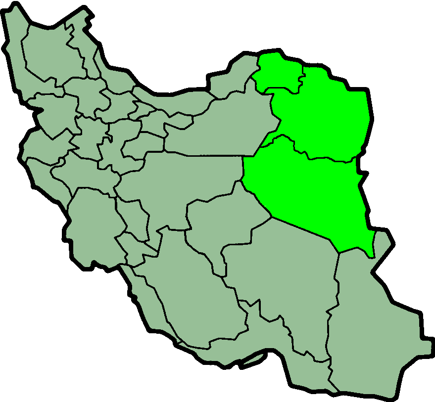
Bestand:IranKhorasan.png
Grootte van deze voorvertoning: 648 × 599 pixels. Andere resoluties: 260 × 240 pixels | 519 × 480 pixels | 879 × 813 pixels.
Oorspronkelijk bestand (879 × 813 pixels, bestandsgrootte: 25 kB, MIME-type: image/png)
| Dit is een bestand van Wikimedia Commons. Onderstaande beschrijving komt van de beschrijving van het bestand daar. |
- From en:Image:IranKhorasan.png
- Khorasan Province of Iran

|
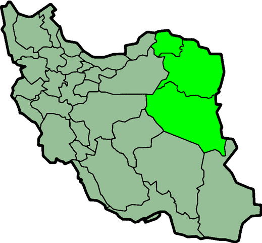
Bestand:IranKhorasan-SVG.svg is een vectorversie van dit bestand. Deze dient gebruikt te worden in plaats van deze rasterafbeelding.
File:IranKhorasan.png → File:IranKhorasan-SVG.svg
Zie Help:SVG voor meer informatie. |
 |

|
Toestemming wordt verleend voor het kopiëren, verspreiden en/of wijzigen van dit document onder de voorwaarden van de GNU-licentie voor vrije documentatie, versie 1.2 of enige latere versie als gepubliceerd door de Free Software Foundation; zonder Invariant Sections, zonder Front-Cover Texts, en zonder Back-Cover Texts. Een kopie van de licentie is opgenomen in de sectie GNU-licentie voor vrije documentatie. |
| Dit bestand is gelicenseerd onder de Creative Commons-licentie Naamsvermelding-Gelijk delen 3.0 Unported | ||
| ||
| Deze licentietag is toegevoegd aan dit bestand in verband met de GFDL licentie-update. |
Bestandsgeschiedenis
Klik op een datum/tijd om het bestand te zien zoals het destijds was.
| Datum/tijd | Miniatuur | Afmetingen | Gebruiker | Opmerking | |
|---|---|---|---|---|---|
| huidige versie | 24 jun 2013 01:57 | | 879 × 813 (25 kB) | BasilLeaf | بروزرسانی مرز بین استانهای یزد و خراسان جنوبی، تهران و البرز، فارس و یزد و اصفهان |
| 12 nov 2010 13:51 |  | 879 × 813 (41 kB) | M samadi | Quality improved, Border of some provinces updated. | |
| 9 nov 2006 00:48 |  | 200 × 185 (10 kB) | Raymond | transparent background, improved color palette | |
| 6 sep 2005 08:06 |  | 200 × 185 (22 kB) | Roozbeh | updated with new Khorasan(s) and expandion of Yazd | |
| 20 mei 2005 13:23 |  | 200 × 185 (20 kB) | Airunp | From en:Image:IranKhorasan.png province of Iran {{GFDL}} en:Khorasan es:Khorasán Category:Maps of Iran |
Bestandsgebruik
Dit bestand wordt op de volgende pagina gebruikt:
Globaal bestandsgebruik
De volgende andere wiki's gebruiken dit bestand:
- Gebruikt op ar.wikipedia.org
- Gebruikt op ba.wikipedia.org
- Gebruikt op be.wikipedia.org
- Gebruikt op cv.wikipedia.org
- Gebruikt op diq.wikipedia.org
- Gebruikt op en.wikipedia.org
- Gebruikt op eo.wikipedia.org
- Gebruikt op fa.wikiquote.org
- Gebruikt op gl.wikipedia.org
- Gebruikt op hak.wikipedia.org
- Gebruikt op hy.wikipedia.org
- Gebruikt op id.wikipedia.org
- Gebruikt op incubator.wikimedia.org
- Gebruikt op it.wikipedia.org
- Gebruikt op kk.wikipedia.org
- Gebruikt op ku.wikipedia.org
- Gebruikt op la.wikipedia.org
- Gebruikt op mk.wikipedia.org
- Gebruikt op pl.wikipedia.org
- Gebruikt op pl.wiktionary.org
- Gebruikt op ru.wikipedia.org
- Gebruikt op sv.wikipedia.org
- Gebruikt op tr.wikipedia.org
- Gebruikt op uk.wikipedia.org
- Gebruikt op uz.wikipedia.org