Bestand:Hampden County Massachusetts incorporated and unincorporated areas Springfield highlighted.svg

Afmetingen van deze voorvertoning van het type PNG van dit SVG-bestand: 800 × 441 pixels Andere resoluties: 320 × 177 pixels | 640 × 353 pixels | 1.024 × 565 pixels | 1.280 × 706 pixels | 2.560 × 1.413 pixels | 879 × 485 pixels.
Oorspronkelijk bestand (SVG-bestand, nominaal 879 × 485 pixels, bestandsgrootte: 863 kB)
| Dit is een bestand van Wikimedia Commons. Onderstaande beschrijving komt van de beschrijving van het bestand daar. |
| Beschrijving |
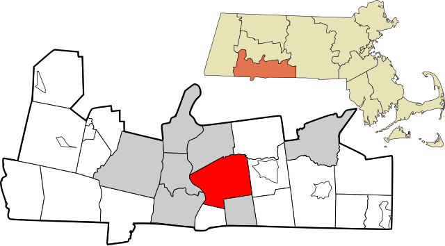
English: Map showing the location of this city within Hampden County, Massachusetts. Data source: 2010 U.S. census |
| Datum | |
| Bron | Eigen werk |
| Auteur | Simtropolitan, based on other works by Rcsprinter123 |
| Toestemming (Hergebruik van dit bestand) |
Ik, de auteursrechthebbende van dit werk, maak het hierbij onder de volgende licentie beschikbaar: Dit bestand is gelicenseerd onder de Creative Commons-licentie Naamsvermelding 3.0 Unported
|
Bestandsgeschiedenis
Klik op een datum/tijd om het bestand te zien zoals het destijds was.
| Datum/tijd | Miniatuur | Afmetingen | Gebruiker | Opmerking | |
|---|---|---|---|---|---|
| huidige versie | 28 sep 2017 13:40 | | 879 × 485 (863 kB) | Simtropolitan | East Longmeadow is a city |
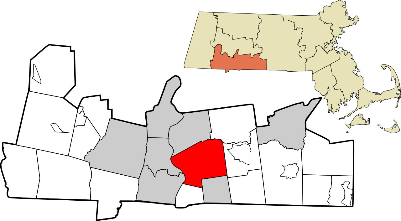
| 1 mei 2017 22:57 |  | 938 × 517 (861 kB) | Simtropolitan | {{Information |Description ={{en|1=Map showing the location of this city within Hampden County, Massachusetts. Data source: [http://www2.census.gov/geo/maps/dc10map/tract/st25_ma/c25013_hampden/DC10CT_C25013_000.pdf 2010 U.S. census]}} |Source... |
Bestandsgebruik
Dit bestand wordt op de volgende pagina gebruikt:
Globaal bestandsgebruik
De volgende andere wiki's gebruiken dit bestand:
- Gebruikt op af.wikipedia.org
- Gebruikt op fi.wikipedia.org
- Gebruikt op fo.wikipedia.org
- Gebruikt op fr.wikipedia.org
- Gebruikt op gl.wikipedia.org
- Gebruikt op id.wikipedia.org
- Gebruikt op ml.wikipedia.org
- Gebruikt op pt.wikipedia.org
- Gebruikt op zh.wikipedia.org