Bestand:English Channel location map.svg

Oorspronkelijk bestand (SVG-bestand, nominaal 955 × 665 pixels, bestandsgrootte: 178 kB)
| Dit is een bestand van Wikimedia Commons. Onderstaande beschrijving komt van de beschrijving van het bestand daar. |
Beschrijving
| Beschrijving |
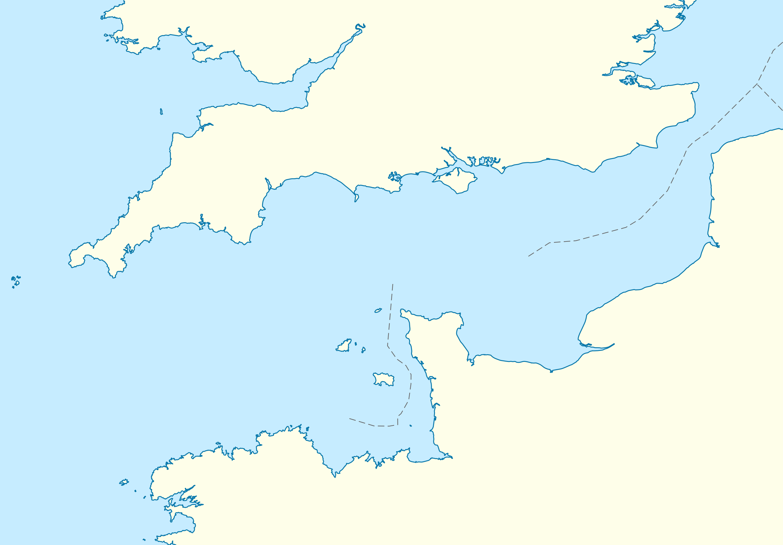
Deutsch: Positionskarte der Ärmelkanals
Quadratische Plattkarte, N-S-Streckung 155 %. Geographische Begrenzung der Karte:
English: Location map of the English Channel
Equirectangular projection, N/S stretching 155 %. Geographic limits of the map:
|
|
| Datum | ||
| Bron | own work, using United States National Imagery and Mapping Agency data | |
| Auteur | NordNordWest | |
| Toestemming (Hergebruik van dit bestand) |
Dit bestand is gelicenseerd onder de Creative Commons-licentie Naamsvermelding-Gelijk delen 3.0 Duitsland
 Dit bestand is gelicenseerd onder de Creative Commons-licentie Naamsvermelding-Gelijk delen 3.0 Unported
|
|
| Andere versies | Afgeleide werken van dit bestand: Condor ferries route map.svg |


|
Deze kaart is gemaakt of verbeterd in de Duitse Kartenwerkstatt (Map Lab). Je kunt ook zelf kaarten ter verbetering voorstellen.
|
Bestandsgeschiedenis
Klik op een datum/tijd om het bestand te zien zoals het destijds was.
| Datum/tijd | Miniatuur | Afmetingen | Gebruiker | Opmerking | |
|---|---|---|---|---|---|
| huidige versie | 1 okt 2010 18:55 | | 955 × 665 (178 kB) | NordNordWest | upd |
| 28 sep 2010 21:07 |  | 955 × 665 (178 kB) | NordNordWest | == {{int:filedesc}} == {{Information |Description= {{de|Positionskarte der Ärmelkanals}} Quadratische Plattkarte, N-S-Streckung 155 %. Geographische Begrenzung der Karte: * N: 52.0° N * S: 48.0° N * W: 6.5° W * O: 2.4° O {{en|Loca |
Bestandsgebruik
Dit bestand wordt op de volgende 3 pagina's gebruikt:
Globaal bestandsgebruik
De volgende andere wiki's gebruiken dit bestand:
- Gebruikt op an.wikipedia.org
- Gebruikt op ar.wikipedia.org
- Gebruikt op az.wikipedia.org
- Gebruikt op ba.wikipedia.org
- Gebruikt op bn.wikipedia.org
- Gebruikt op ceb.wikipedia.org
- Gebruikt op ce.wikipedia.org
- Gebruikt op cs.wikipedia.org
- Gebruikt op de.wikipedia.org
- Gebruikt op de.wikivoyage.org
- Gebruikt op en.wikipedia.org
- Guernsey
- Sark
- Alderney
- Bailiwick of Guernsey
- Operation Biting
- Battle of Dover Strait (1917)
- Operation Jericho
- Bugaled Breizh
- Module:Location map/data/United Kingdom Channel Islands/doc
- White House (Herm)
- La Sablonnerie
- Armin Faber
- User:Keith-264/sandbox5
- Module:Location map/data/English Channel
- Template:Bailiwick of Guernsey location map
- Template:Bailiwick of Guernsey location map/doc
- Module:Location map/data/United Kingdom Channel Islands
- English Channel migrant crossings (2018–present)
- 2019 English Channel Piper PA-46 crash
- Jersey Bulls F.C.
- Wikipedia talk:WikiProject Military history/Archive 155
- November 2021 English Channel disaster
- Module:Location map/data/English Channel/doc
- Gebruikt op es.wikipedia.org
Globaal gebruik van dit bestand bekijken.