Bestand:England in the uk outline map.png
Geen hogere resolutie beschikbaar.
England_in_the_uk_outline_map.png (369 × 420 pixels, bestandsgrootte: 7 kB, MIME-type: image/png)
| Dit is een bestand van Wikimedia Commons. Onderstaande beschrijving komt van de beschrijving van het bestand daar. |
Beschrijving
| Beschrijving |
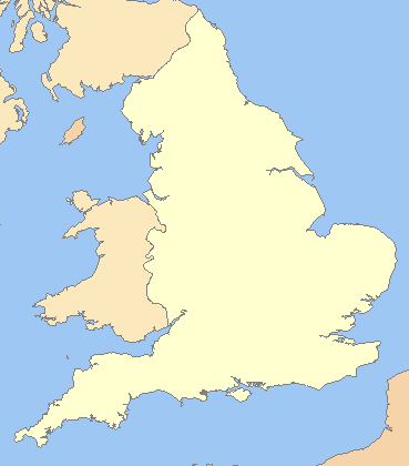
English: A blank map of the England, inside the United Kingdom |
| Bron | File:Uk outline map.png |
| Auteur | ChrisO modified by User:Xhandler |
| Andere versies | Afgeleide werken van dit bestand: England in the UK - Northumberland outlined.png |
Licentie

|
Toestemming wordt verleend voor het kopiëren, verspreiden en/of wijzigen van dit document onder de voorwaarden van de GNU-licentie voor vrije documentatie, versie 1.2 of enige latere versie als gepubliceerd door de Free Software Foundation; zonder Invariant Sections, zonder Front-Cover Texts, en zonder Back-Cover Texts. Een kopie van de licentie is opgenomen in de sectie GNU-licentie voor vrije documentatie. |
| Dit bestand is gelicenseerd onder de Creative Commons-licentie Naamsvermelding-Gelijk delen 3.0 Unported | ||
| ||
| Deze licentietag is toegevoegd aan dit bestand in verband met de GFDL licentie-update. |
Bestandsgeschiedenis
Klik op een datum/tijd om het bestand te zien zoals het destijds was.
| Datum/tijd | Miniatuur | Afmetingen | Gebruiker | Opmerking | |
|---|---|---|---|---|---|
| huidige versie | 20 mrt 2009 00:16 | | 369 × 420 (7 kB) | Mahahahaneapneap | Compressed |
| 11 jul 2008 09:59 |  | 369 × 420 (11 kB) | Chandler~commonswiki | zoomed in | |
| 11 jul 2008 08:23 |  | 600 × 800 (25 kB) | Chandler~commonswiki | {{Information |Description={{en|1=A blank map of the England, inside the United Kingdom}} |Source=Image:Uk_outline_map.png |Author=ChrisO modified by User:Xhandler |Date= |Permission= |other_versions= }} {{ImageUpload|full}} [[Cat |
Bestandsgebruik
Geen enkele pagina gebruikt dit bestand.
Globaal bestandsgebruik
De volgende andere wiki's gebruiken dit bestand:
- Gebruikt op cy.wikipedia.org
- Gebruikt op de.wikipedia.org
- Gebruikt op en.wikipedia.org
- Gebruikt op fr.wikipedia.org
- Gebruikt op he.wikipedia.org
- Gebruikt op hy.wikipedia.org
- Gebruikt op pnb.wikipedia.org
- Gebruikt op uk.wikipedia.org
- Gebruikt op zh.wikipedia.org