Bestand:Dominica.png
Grootte van deze voorvertoning: 484 × 599 pixels. Andere resoluties: 194 × 240 pixels | 388 × 480 pixels | 962 × 1.191 pixels.
Oorspronkelijk bestand (962 × 1.191 pixels, bestandsgrootte: 219 kB, MIME-type: image/png)
Dit is een bestand van Wikimedia Commons.
Onderstaande beschrijving komt van de beschrijving van het bestand daar.
Onderstaande beschrijving komt van de beschrijving van het bestand daar.
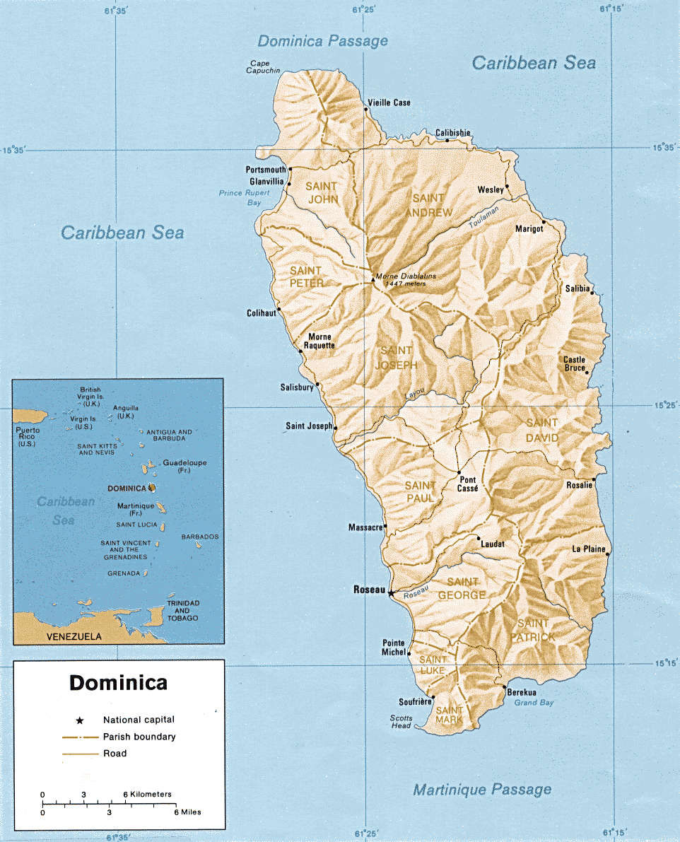
| Beschrijving | Map of Dominica | |||
| Datum | ||||
| Bron | http://www.lib.utexas.edu/maps/americas.html | |||
| Auteur | CIA | |||
| Toestemming (Hergebruik van dit bestand) |
|

Bestandsgeschiedenis
Klik op een datum/tijd om het bestand te zien zoals het destijds was.
| Datum/tijd | Miniatuur | Afmetingen | Gebruiker | Opmerking | |
|---|---|---|---|---|---|
| huidige versie | 17 mrt 2009 04:07 | | 962 × 1.191 (219 kB) | Sasha Krotov | {{Information |Description=Map of Dominica |Source=http://www.lib.utexas.edu/maps/americas.html |Date=1990 |Author=CIA |Permission={{PD-USGov-CIA}} |other_versions= }} Category:Maps of Dominica <!--{{ImageUpload|basic}}--> |
Bestandsgebruik
Dit bestand wordt op de volgende pagina gebruikt:
Globaal bestandsgebruik
De volgende andere wiki's gebruiken dit bestand:
- Gebruikt op ast.wikipedia.org
- Gebruikt op bg.wikipedia.org
- Gebruikt op cs.wikipedia.org
- Gebruikt op en.wikipedia.org
- Gebruikt op es.wikipedia.org
- Gebruikt op fa.wikipedia.org
- Gebruikt op it.wikipedia.org
- Gebruikt op pl.wikipedia.org
- Gebruikt op stq.wikipedia.org
- Gebruikt op tl.wikipedia.org
- Gebruikt op uk.wikipedia.org
- Gebruikt op www.wikidata.org
- Gebruikt op zh.wikipedia.org