Bestand:Charente-Maritime department cantons Rochefort-Sud.svg

Afmetingen van deze voorvertoning van het type PNG van dit SVG-bestand: 480 × 599 pixels Andere resoluties: 192 × 240 pixels | 384 × 480 pixels | 615 × 768 pixels | 820 × 1.024 pixels | 1.641 × 2.048 pixels | 584 × 729 pixels.
Oorspronkelijk bestand (SVG-bestand, nominaal 584 × 729 pixels, bestandsgrootte: 142 kB)
Dit is een bestand van Wikimedia Commons.
Onderstaande beschrijving komt van de beschrijving van het bestand daar.
Onderstaande beschrijving komt van de beschrijving van het bestand daar.
Beschrijving
| Beschrijving |
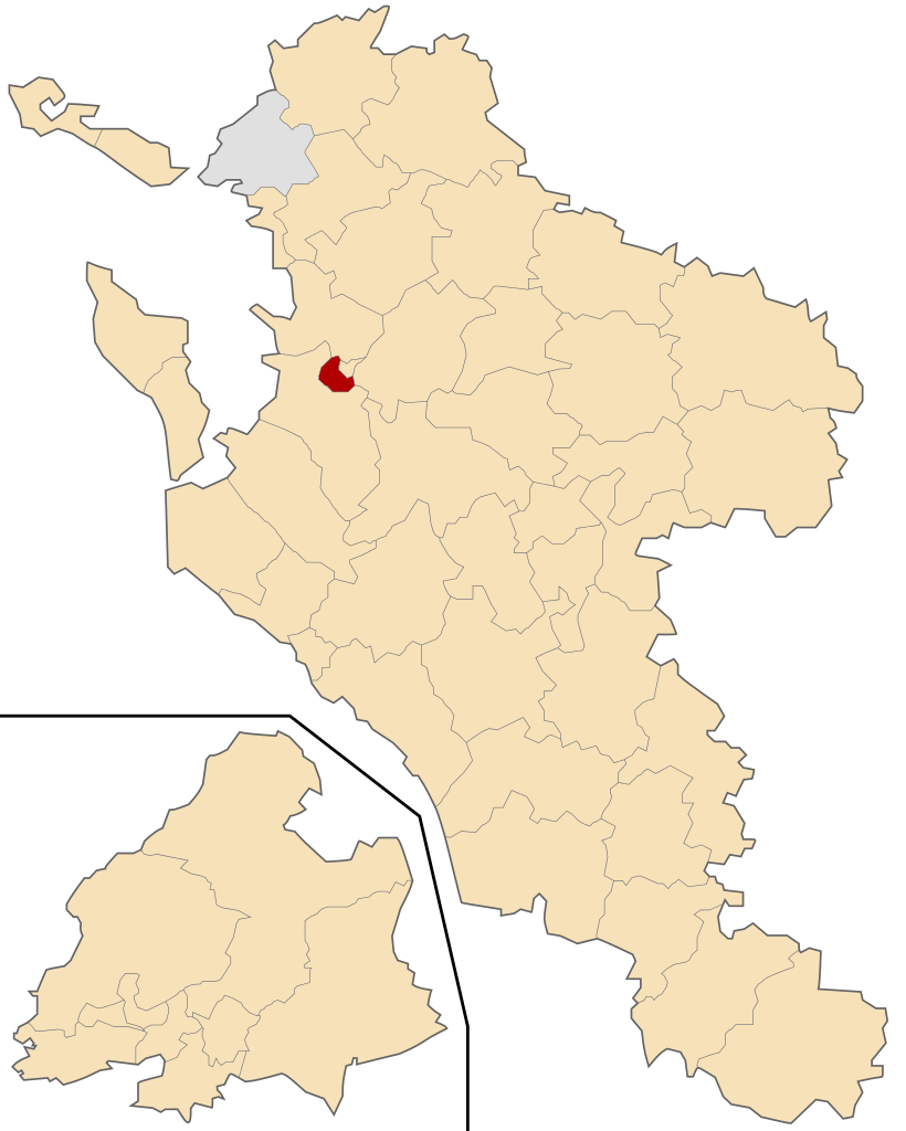
Français : Géolocalisation du canton de Rochefort-Sud en Charente-Maritime (France). |
| Datum | |
| Bron | other version of File:Charente-Maritime department cantons map-blank.svg created by Sting |
| Auteur | Droop - fr:Droop |
| Andere versies |
|
Licentie
Ik, de auteursrechthebbende van dit werk, maak het hierbij onder de volgende licentie beschikbaar:
Dit bestand is gelicenseerd onder de Creative Commons-licentie Naamsvermelding 3.0 Unported
- De gebruiker mag:
- Delen – het werk kopiëren, verspreiden en doorgeven
- Remixen – afgeleide werken maken
- Onder de volgende voorwaarden:
- naamsvermelding – U moet op een gepaste manier aan naamsvermelding doen, een link naar de licentie geven, en aangeven of er wijzigingen in het werk zijn aangebracht. U mag dit op elke redelijke manier doen, maar niet zodanig dat de indruk wordt gewekt dat de licentiegever instemt met uw werk of uw gebruik van zijn werk.
Bestandsgeschiedenis
Klik op een datum/tijd om het bestand te zien zoals het destijds was.
| Datum/tijd | Miniatuur | Afmetingen | Gebruiker | Opmerking | |
|---|---|---|---|---|---|
| huidige versie | 9 aug 2009 13:40 | | 584 × 729 (142 kB) | Droop | {{Information |Description={{fr|1=Géolocalisation du canton de Rochefort-Sud en Charente-Maritime (France).}} |Source=other version of File:Charente-Maritime department cantons map-blank.svg created by Sting |Author=[[User:Droop|Droop |
Bestandsgebruik
Dit bestand wordt op de volgende pagina gebruikt:
Globaal bestandsgebruik
De volgende andere wiki's gebruiken dit bestand:
- Gebruikt op cs.wikipedia.org
- Gebruikt op de.wikipedia.org
- Gebruikt op es.wikipedia.org
- Gebruikt op fr.wikipedia.org
- Gebruikt op ru.wikipedia.org
- Gebruikt op sk.wikipedia.org