Bestand:Caceres - Mapa municipal.svg

Afmetingen van deze voorvertoning van het type PNG van dit SVG-bestand: 778 × 413 pixels Andere resoluties: 320 × 170 pixels | 640 × 340 pixels | 1.024 × 544 pixels | 1.280 × 679 pixels | 2.560 × 1.359 pixels.
Oorspronkelijk bestand (SVG-bestand, nominaal 778 × 413 pixels, bestandsgrootte: 561 kB)
| Dit is een bestand van Wikimedia Commons. Onderstaande beschrijving komt van de beschrijving van het bestand daar. |
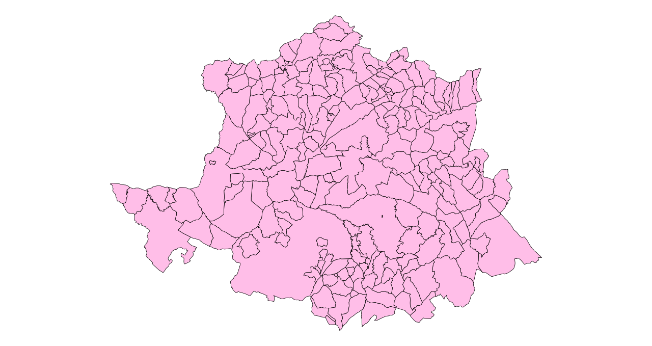
Title
- es: Municipios de Cáceres (España). 2003
- en: Municipalities of Cáceres (Spain). 2003
Author

|
Toestemming wordt verleend voor het kopiëren, verspreiden en/of wijzigen van dit document onder de voorwaarden van de GNU-licentie voor vrije documentatie, versie 1.2 of enige latere versie als gepubliceerd door de Free Software Foundation; zonder Invariant Sections, zonder Front-Cover Texts, en zonder Back-Cover Texts. Een kopie van de licentie is opgenomen in de sectie GNU-licentie voor vrije documentatie. |
| Dit bestand is gelicenseerd onder de Creative Commons-licentie Naamsvermelding-Gelijk delen 3.0 Unported | ||
| ||
| Deze licentietag is toegevoegd aan dit bestand in verband met de GFDL licentie-update. |
Bestandsgeschiedenis
Klik op een datum/tijd om het bestand te zien zoals het destijds was.
| Datum/tijd | Miniatuur | Afmetingen | Gebruiker | Opmerking | |
|---|---|---|---|---|---|
| huidige versie | 29 okt 2005 14:51 | | 778 × 413 (561 kB) | Tony Rotondas | '''Title''' :'''es:''' Municipios de Cáceres (España). 2003 :'''en:''' Municipalities of Cáceres (Spain). 2003 '''Author''' :[http://es.wikipedia.org/wiki/Usuario:Tony_Rotondas Emilio Gómez Fernández] {{GFDL}} [[Category:Maps of municipalities of S |
Bestandsgebruik
Dit bestand wordt op de volgende pagina gebruikt:
Globaal bestandsgebruik
De volgende andere wiki's gebruiken dit bestand:
- Gebruikt op an.wikipedia.org
- Gebruikt op ar.wikipedia.org
- Gebruikt op ast.wikipedia.org
- Gebruikt op ca.wikipedia.org
- Gebruikt op diq.wikipedia.org
- Gebruikt op eo.wikipedia.org
- Gebruikt op es.wikipedia.org
- Gebruikt op eu.wikipedia.org
- Gebruikt op ext.wikipedia.org
- Gebruikt op fa.wikipedia.org
- Gebruikt op fr.wikipedia.org
- Gebruikt op gl.wikipedia.org
- Gebruikt op it.wikipedia.org
- Gebruikt op la.wikipedia.org
- Gebruikt op pl.wikipedia.org
- Gebruikt op pt.wikipedia.org
- Gebruikt op ro.wikipedia.org
- Gebruikt op sv.wikipedia.org