Bestand:CEM-44-La-Chine-la-Tartarie-Chinoise-et-le-Thibet-1734-NE-2571.jpg
Grootte van deze voorvertoning: 800 × 600 pixels. Andere resoluties: 320 × 240 pixels | 640 × 480 pixels | 1.024 × 768 pixels | 1.280 × 960 pixels | 2.560 × 1.920 pixels.
Oorspronkelijk bestand (2.560 × 1.920 pixels, bestandsgrootte: 2,09 MB, MIME-type: image/jpeg)
| Dit is een bestand van Wikimedia Commons. Onderstaande beschrijving komt van de beschrijving van het bestand daar. |
| Beschrijving |
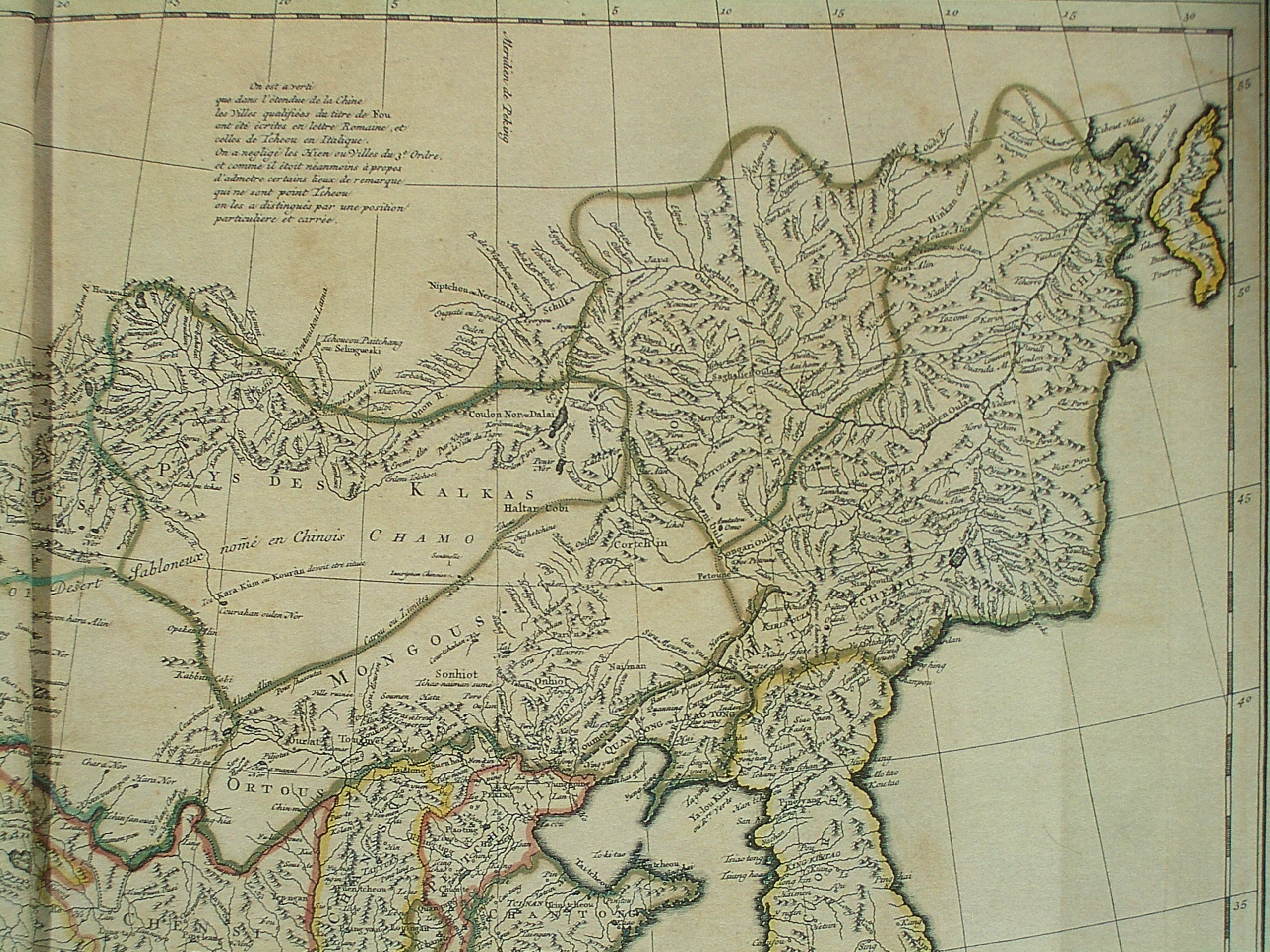
Français : Carte la plus generale et qui comprend la Chine, la Tartarie Chinoise, et le Thibet. Dressee sur les cartes particuliers des RR PP Jesuites, par le Sr. d'Anville..., qui ya joint le pays compris entre Kashgar et la mar Caspienne, tire des geographes et des historiens orientaux
English: A most general map, including China, Chinese Tartary, and Tibet, based on individual maps of the Jesuit fathers. The map gives 1734 as the year, but the modern HKUST publishers say 1737
English: Fragment: North-eastern quarter |
||||||||||||||||||||
| Datum | 1734, according to the map itself (although the modern publishers say 1737) | ||||||||||||||||||||
| Bron |
English: An antique map from the Special Collection "China in Maps" of the Hong Kong University of Science and Technology Library, reproduced by the HKUST Library in the book "China in European Maps", Hong Kong, 2003. ISBN 962-86403-9-9.
Русский: Старинная карта из специальной коллекции Библиотеки Гонконгского научно-технического университета. Опубликована этой библиотекой в книге "China in European Maps" (Китай на европейских картах), Гонконг, 2003. ISBN 962-86403-9-9, тиражом 1000 экз. См. также каталог выставки, Special Collection "China in Maps".
Plate 44 |
||||||||||||||||||||
| Auteur |
|
||||||||||||||||||||
| Toestemming (Hergebruik van dit bestand) |
Author died more than 70 years ago - public domain | ||||||||||||||||||||
| Andere versies |
|
||||||||||||||||||||


|
Dit werk bevindt zich in het publiek domein in landen en gebieden waar de auteursrechttermijn het leven van de auteur plus 100 jaar of minder is. | |
| Van dit bestand is vastgesteld dat er geen bekende auteursrechtaanspraken op rusten, alle aanverwante en naburige rechten daarbij inbegrepen. | |
Bestandsgeschiedenis
Klik op een datum/tijd om het bestand te zien zoals het destijds was.
| Datum/tijd | Miniatuur | Afmetingen | Gebruiker | Opmerking | |
|---|---|---|---|---|---|
| huidige versie | 22 mrt 2009 15:34 | | 2.560 × 1.920 (2,09 MB) | Vmenkov | {{Information |Description={{fr|Carte la plus generale et qui comprend la Chine, la Tartarie Chinoise, et le Thibet. Dressee sur les cartes particuliers des RR PP Jesuites, par le Sr. d'Anville..., qui ya joint le pays compris entre Kashgar et la mar Casp |
Bestandsgebruik
Dit bestand wordt op de volgende 2 pagina's gebruikt:
Globaal bestandsgebruik
De volgende andere wiki's gebruiken dit bestand:
- Gebruikt op cv.wikipedia.org
- Gebruikt op da.wikipedia.org
- Gebruikt op de.wikipedia.org
- Gebruikt op en.wikipedia.org
- Gebruikt op eu.wikipedia.org
- Gebruikt op fi.wikipedia.org
- Gebruikt op fr.wikipedia.org
- Gebruikt op ja.wikipedia.org
- Gebruikt op lv.wikipedia.org
- Gebruikt op no.wikipedia.org
- Gebruikt op pl.wikipedia.org
- Gebruikt op pt.wikipedia.org
- Gebruikt op ru.wikipedia.org
- Gebruikt op tr.wikipedia.org
- Gebruikt op uz.wikipedia.org
- Gebruikt op vi.wikipedia.org
- Gebruikt op zh.wikipedia.org