Bestand:Burundi collines.png

Grootte van deze voorvertoning: 501 × 599 pixels. Andere resoluties: 201 × 240 pixels | 401 × 480 pixels | 859 × 1.027 pixels.
Oorspronkelijk bestand (859 × 1.027 pixels, bestandsgrootte: 114 kB, MIME-type: image/png)
| Dit is een bestand van Wikimedia Commons. Onderstaande beschrijving komt van de beschrijving van het bestand daar. |
Beschrijving
| Beschrijving |
|
||
| Datum | 29 november 2006 (originele uploaddatum) | ||
| Bron | Geen machineleesbare bron opgegeven. Eigen werk aangenomen (gebaseerd op auteursrechtclaims). | ||
| Auteur | Geen machineleesbare auteur aanwezig. Op basis van auteursrechtclaims wordt auteur Electionworld aangenomen. |

Licentie
| Ik, de auteursrechthebbende van dit werk, geef dit werk vrij in het publieke domein. Dit is wereldwijd van toepassing. In sommige landen is dit wettelijk niet mogelijk; in die gevallen geldt: Ik sta iedereen toe dit werk voor eender welk doel te gebruiken, zonder enige voorwaarden, tenzij zulke voorwaarden door de wet worden voorgeschreven. |
Bestandsgeschiedenis
Klik op een datum/tijd om het bestand te zien zoals het destijds was.
| Datum/tijd | Miniatuur | Afmetingen | Gebruiker | Opmerking | |
|---|---|---|---|---|---|
| huidige versie | 14 jan 2008 18:34 | | 859 × 1.027 (114 kB) | Rarelibra | Updated map |
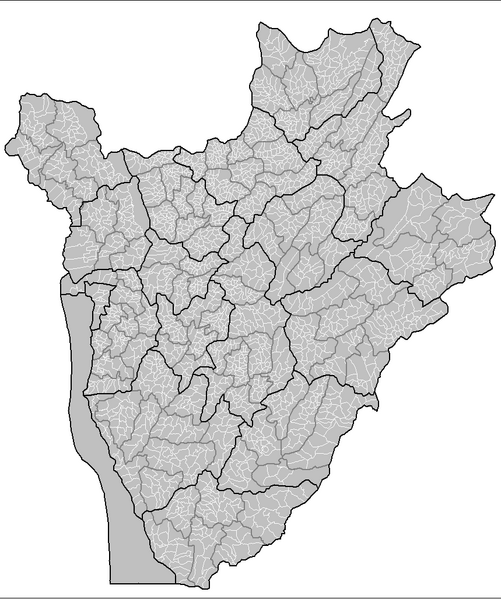
| 29 nov 2006 14:18 |  | 1.025 × 624 (55 kB) | Electionworld | {{ew|en|Rarelibra}} Map of the collines of Burundi. Created by Rarelibra 13:53, 31 March 2006 (UTC) for public domain use. Created using MapInfo Professional v7.5 and various mapping resources. == Licensing == {{PD-self}} [[Category:Map |
Bestandsgebruik
Dit bestand wordt op de volgende pagina gebruikt:
Globaal bestandsgebruik
De volgende andere wiki's gebruiken dit bestand:
- Gebruikt op ca.wikipedia.org
- Gebruikt op ckb.wikipedia.org
- Gebruikt op de.wikipedia.org
- Gebruikt op en.wikipedia.org
- Gebruikt op fa.wikipedia.org
- Gebruikt op fr.wikipedia.org
- Gebruikt op id.wikipedia.org
- Gebruikt op it.wikipedia.org
- Gebruikt op mzn.wikipedia.org
- Gebruikt op pt.wikipedia.org
- Gebruikt op sr.wikipedia.org
- Gebruikt op sv.wikipedia.org
- Gebruikt op www.wikidata.org