Bestand:A71 map fr.png

Grootte van deze voorvertoning: 453 × 599 pixels. Andere resoluties: 181 × 240 pixels | 363 × 480 pixels | 1.010 × 1.335 pixels.
Oorspronkelijk bestand (1.010 × 1.335 pixels, bestandsgrootte: 202 kB, MIME-type: image/png)
| Dit is een bestand van Wikimedia Commons. Onderstaande beschrijving komt van de beschrijving van het bestand daar. |
| Beschrijving |
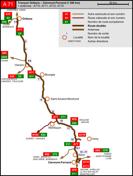
English: Map of the A71 autoroute in France. Made with OpenOffice.org Draw and Inkscape.
Français : Carte de l'autoroute A71 en France. Réalisé avec OpenOffice.org Draw et Inkscape. |
| Datum | |
| Bron | Eigen werk |
| Auteur | Tabl-trai |
| Toestemming (Hergebruik van dit bestand) |
Dit bestand is gelicenseerd onder de Creative Commons-licentie Naamsvermelding-Gelijk delen 2.0 Frankrijk
 |
Bestandsgeschiedenis
Klik op een datum/tijd om het bestand te zien zoals het destijds was.
| Datum/tijd | Miniatuur | Afmetingen | Gebruiker | Opmerking | |
|---|---|---|---|---|---|
| huidige versie | 4 apr 2009 14:58 | | 1.010 × 1.335 (202 kB) | Tabl-trai | {{Information |Description={{en|1=Map of the A71 autoroute in France. Made with OpenOffice.org Draw and Inkscape.}} {{fr|1=Carte de l'autoroute A71 en France. Réalisé avec OpenOffice.org Draw et Inkscape.}} |Source=Own work by uploader |Author=[[User:Ta |
Bestandsgebruik
Geen enkele pagina gebruikt dit bestand.
Globaal bestandsgebruik
De volgende andere wiki's gebruiken dit bestand:
- Gebruikt op fr.wikipedia.org