Bestand:Закаспийская область 1900.svg

Afmetingen van deze voorvertoning van het type PNG van dit SVG-bestand: 563 × 600 pixels Andere resoluties: 225 × 240 pixels | 451 × 480 pixels | 721 × 768 pixels | 961 × 1.024 pixels | 1.923 × 2.048 pixels | 600 × 639 pixels.
Oorspronkelijk bestand (SVG-bestand, nominaal 600 × 639 pixels, bestandsgrootte: 62 kB)
| Dit is een bestand van Wikimedia Commons. Onderstaande beschrijving komt van de beschrijving van het bestand daar. |
Beschrijving
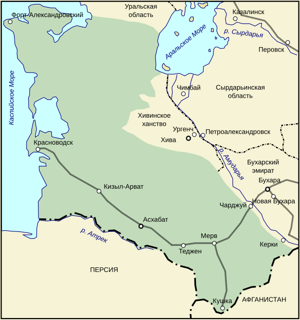
| Beschrijving | Закаспийская область в 1900 году. |
| Datum | 15 december 2006 (originele uploaddatum) |
| Bron | Geen machineleesbare bron opgegeven. Eigen werk aangenomen (gebaseerd op auteursrechtclaims). |
| Auteur | Geen machineleesbare auteur aanwezig. Op basis van auteursrechtclaims wordt auteur Wassily aangenomen. |
Licentie
Ik, de auteursrechthebbende van dit werk, maak het hierbij onder de volgende licentie beschikbaar:

|
Toestemming wordt verleend voor het kopiëren, verspreiden en/of wijzigen van dit document onder de voorwaarden van de GNU-licentie voor vrije documentatie, versie 1.2 of enige latere versie als gepubliceerd door de Free Software Foundation; zonder Invariant Sections, zonder Front-Cover Texts, en zonder Back-Cover Texts. Een kopie van de licentie is opgenomen in de sectie GNU-licentie voor vrije documentatie. |
| Dit bestand is gelicenseerd onder de Creative Commons-licentie Naamsvermelding-Gelijk delen 3.0 Unported | ||
| ||
| Deze licentietag is toegevoegd aan dit bestand in verband met de GFDL licentie-update. |
Bestandsgeschiedenis
Klik op een datum/tijd om het bestand te zien zoals het destijds was.
| Datum/tijd | Miniatuur | Afmetingen | Gebruiker | Opmerking | |
|---|---|---|---|---|---|
| huidige versie | 30 okt 2007 14:16 | | 600 × 639 (62 kB) | WarXboT | minor fixes |
| 30 okt 2007 14:15 |  | 277 × 292 (62 kB) | WarXboT | minor fixes | |
| 15 dec 2006 14:25 |  | 277 × 292 (60 kB) | Wassily | ||
| 15 dec 2006 13:40 |  | 277 × 292 (60 kB) | Wassily | Закаспийская область в 1900 году. Category:SVG карты на русском Category:Historical maps of the empire of Russia {{self|GFDL}} |
Bestandsgebruik
Dit bestand wordt op de volgende pagina gebruikt:
Globaal bestandsgebruik
De volgende andere wiki's gebruiken dit bestand:
- Gebruikt op en.wikipedia.org
- Gebruikt op fr.wikipedia.org
- Gebruikt op ja.wikipedia.org
- Gebruikt op ka.wikipedia.org
- Gebruikt op kk.wikipedia.org
- Gebruikt op ko.wikipedia.org
- Gebruikt op pt.wikipedia.org
- Gebruikt op ru.wikipedia.org
- Gebruikt op uk.wikipedia.org
- Gebruikt op uz.wikipedia.org
- Gebruikt op vi.wikipedia.org
- Gebruikt op www.wikidata.org
- Gebruikt op zh.wikipedia.org