Bestand:South Africa Western Cape location map.svg

Afmetingen van deze voorvertoning van het type PNG van dit SVG-bestand: 749 × 600 pixels Andere resoluties: 300 × 240 pixels | 600 × 480 pixels | 959 × 768 pixels | 1.279 × 1.024 pixels | 2.558 × 2.048 pixels | 1.214 × 972 pixels.
Oorspronkelijk bestand (SVG-bestand, nominaal 1.214 × 972 pixels, bestandsgrootte: 204 kB)
| Dit is een bestand van Wikimedia Commons. Onderstaande beschrijving komt van de beschrijving van het bestand daar. |
Beschrijving
| Beschrijving |
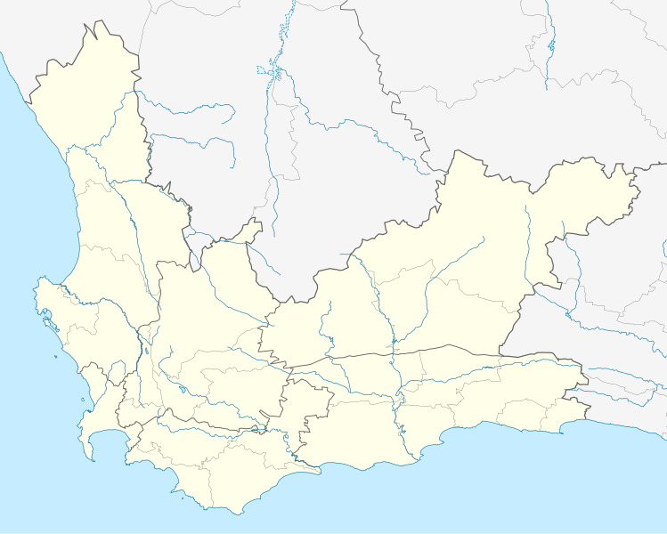
English: Location map of the Western Cape
Equirectangular projection, N/S stretching 118%. Geographic limits of the map:
|
| Datum | |
| Bron |
|
| Auteur | Htonl |
| Toestemming (Hergebruik van dit bestand) |
Ik, de auteursrechthebbende van dit werk, maak het hierbij onder de volgende licentie beschikbaar: Dit bestand is gelicenseerd onder de Creative Commons-licentie Naamsvermelding-Gelijk delen 3.0 Unported
|
| Andere versies | File:South Africa Western Cape relief location map.svg, File:Blank map of the Western Cape (2011).svg |
.svg)
Bestandsgeschiedenis
Klik op een datum/tijd om het bestand te zien zoals het destijds was.
| Datum/tijd | Miniatuur | Afmetingen | Gebruiker | Opmerking | |
|---|---|---|---|---|---|
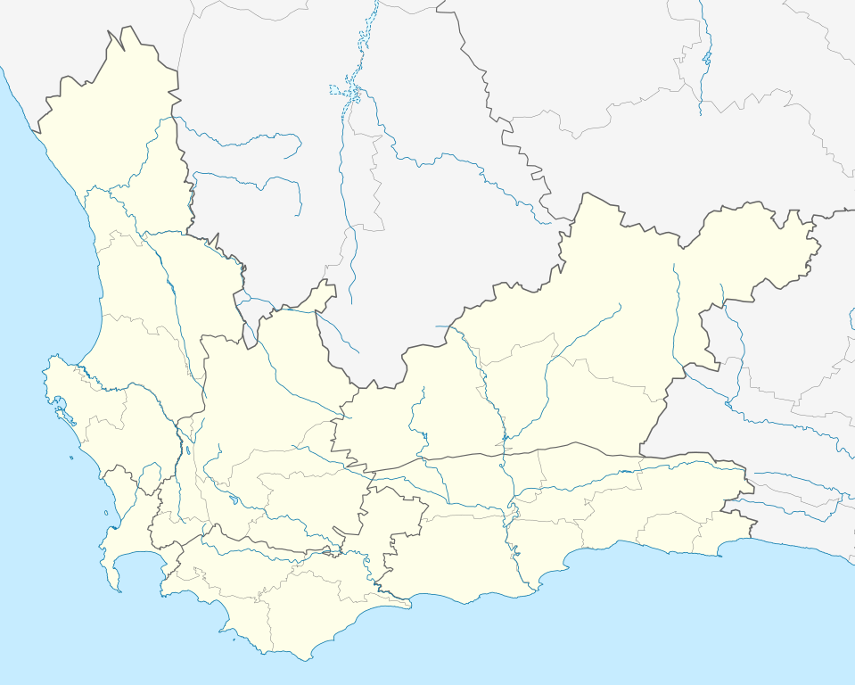
| huidige versie | 4 jan 2013 21:40 | | 1.214 × 972 (204 kB) | Htonl | tweak |
| 4 jan 2013 00:42 |  | 1.214 × 972 (237 kB) | Htonl | new version w/ vmap0-derived rivers | |
| 13 dec 2012 02:24 |  | 1.214 × 972 (202 kB) | Htonl | {{Information |Description ={{en|1=Location map of w:Western Cape, w:South Africa. Equirectangular projection. Geographic limits of the map: 17.5° to 24.5° E and 30.25° to 35° S.}} |Source =Own work, based on OpenStreetMap dat... |
Bestandsgebruik
Dit bestand wordt op de volgende 3 pagina's gebruikt:
Globaal bestandsgebruik
De volgende andere wiki's gebruiken dit bestand:
- Gebruikt op af.wikipedia.org
- Kaapstad
- Heidelberg, Wes-Kaap
- Sedgefield
- Knysna
- Stellenbosch
- Robbeneiland
- Beaufort-Wes
- Genadendal
- George
- Paarl
- Swellendam
- Tulbagh
- Touwsrivier
- Mamre
- Franschhoek
- Plettenbergbaai
- Gordonsbaai
- Wellington, Wes-Kaap
- Bellville
- Durbanville
- Mosselbaai
- Atlantis, Wes-Kaap
- Malmesbury, Wes-Kaap
- Paternoster
- Hopefield
- Vredenburg
- Saldanha
- Langebaan
- Velddrif
- Jacobsbaai
- Laingsburg
- Kleinmond
- Matjiesfontein
- Simonstad
- Grabouw
- Moorreesburg
- Robertson
- Houtbaai
- Oudtshoorn
- Bredasdorp
- Distrik Ses
- Elim, Wes-Kaap
- Wupperthal
- Darling, Wes-Kaap
- Suurbraak
- Barrydale
- Napier
- Dysselsdorp
- Zoar, Wes-Kaap
- Piketberg
Globaal gebruik van dit bestand bekijken.