Bestand:Map of Long Valley Mono area.png

Grootte van deze voorvertoning: 538 × 599 pixels. Andere resoluties: 216 × 240 pixels | 600 × 668 pixels.
Oorspronkelijk bestand (600 × 668 pixels, bestandsgrootte: 178 kB, MIME-type: image/png)
| Dit is een bestand van Wikimedia Commons. Onderstaande beschrijving komt van de beschrijving van het bestand daar. |
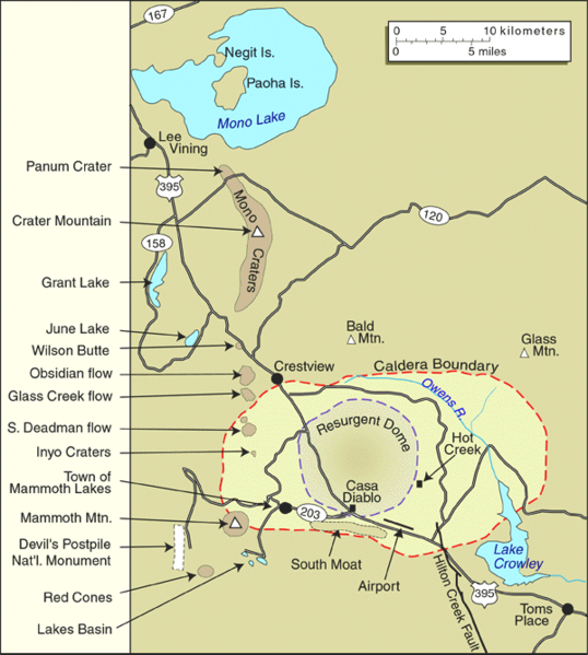
| Beschrijving | United States Geological Survey map of the Long Valley Caldera and Mono Lake, California | |||
| Datum | tegen 1999 | |||
| Bron | Archived source link | |||
| Auteur | USGS | |||
| Toestemming (Hergebruik van dit bestand) |
|
|||
| Andere versies |

Bestandsgeschiedenis
Klik op een datum/tijd om het bestand te zien zoals het destijds was.
| Datum/tijd | Miniatuur | Afmetingen | Gebruiker | Opmerking | |
|---|---|---|---|---|---|
| huidige versie | 21 jun 2005 17:24 | | 600 × 668 (178 kB) | Hike395 | United States Geological Survey map of the Long Valley Caldera and Mono Lake, California {{PD-USGov-USGS}} Source URL: http://lvo.wr.usgs.gov/gallery/MapGallery.html |
Bestandsgebruik
Geen enkele pagina gebruikt dit bestand.