Bestand:Kumage Subprefecture in Kagoshima Prefecture.png

Grootte van deze voorvertoning: 800 × 534 pixels. Andere resoluties: 320 × 213 pixels | 640 × 427 pixels | 1.024 × 683 pixels | 1.201 × 801 pixels.
Oorspronkelijk bestand (1.201 × 801 pixels, bestandsgrootte: 34 kB, MIME-type: image/png)
| Dit is een bestand van Wikimedia Commons. Onderstaande beschrijving komt van de beschrijving van het bestand daar. |
Beschrijving
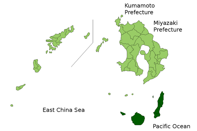
| Beschrijving | Location Map of Kumage Subprefecture in Kagoshima Prefecture, Japan |
| Datum | |
| Bron | Image:KagoshimaMapCurrent.png and rework |
| Auteur | user:alberth2 |
| Toestemming (Hergebruik van dit bestand) |
PD |
Licentie
| Ik, de auteursrechthebbende van dit werk, geef dit werk vrij in het publieke domein. Dit is wereldwijd van toepassing. In sommige landen is dit wettelijk niet mogelijk; in die gevallen geldt: Ik sta iedereen toe dit werk voor eender welk doel te gebruiken, zonder enige voorwaarden, tenzij zulke voorwaarden door de wet worden voorgeschreven. |
Bestandsgeschiedenis
Klik op een datum/tijd om het bestand te zien zoals het destijds was.
| Datum/tijd | Miniatuur | Afmetingen | Gebruiker | Opmerking | |
|---|---|---|---|---|---|
| huidige versie | 23 mrt 2010 08:43 | | 1.201 × 801 (34 kB) | Alberth2 | Kajiki Town, Kamō Town and Aira Tow were merged to Aira City. |
| 1 nov 2008 05:09 |  | 1.201 × 801 (34 kB) | Alberth2 | Ōkuchi and Hishikari merged to Isa. | |
| 1 dec 2007 08:26 |  | 1.201 × 801 (34 kB) | Alberth2 | Kawanabe, Chiran, and Ei are merged into Minamikyūshū City. | |
| 5 okt 2007 03:20 |  | 1.201 × 801 (34 kB) | Alberth2 | == Summary == {{Information |Description=Location Map of Kumage Subprefecture in Kagoshima Prefecture, Japan |Source=Image:KagoshimaMapCurrent.png and rework |Date=Oct. 5th, 2007 |Author=user:alberth2 |Permission=PD |other_versions= }} == Licens |
Bestandsgebruik
Dit bestand wordt op de volgende pagina gebruikt:
Globaal bestandsgebruik
De volgende andere wiki's gebruiken dit bestand:
- Gebruikt op en.wikipedia.org
- Gebruikt op pl.wikipedia.org
- Gebruikt op th.wikipedia.org
- Gebruikt op zh.wikipedia.org