Bestand:Johs. Mejer 1650.JPG

Grootte van deze voorvertoning: 771 × 599 pixels. Andere resoluties: 309 × 240 pixels | 617 × 480 pixels | 988 × 768 pixels | 1.280 × 995 pixels | 2.560 × 1.990 pixels | 2.962 × 2.303 pixels.
Oorspronkelijk bestand (2.962 × 2.303 pixels, bestandsgrootte: 5,04 MB, MIME-type: image/jpeg)
| Dit is een bestand van Wikimedia Commons. Onderstaande beschrijving komt van de beschrijving van het bestand daar. |
Beschrijving

.jpg)

Licentie
Ik, de auteursrechthebbende van dit werk, maak het hierbij onder de volgende licentie beschikbaar:
| Dit bestand is beschikbaar onder Creative Commons CC0 1.0 Universele Public Domain Dedication. | |
| De persoon die een werk voorziet van deze licentie stelt dit werk beschikbaar aan het publieke domein door, voor zover dit wettelijk is toegestaan, afstand te doen van alle rechten op het werk in de zin van het auteursrecht, met inbegrip van alle aanverwante of naburige rechten. U kunt het werk kopiëren, aanpassen, distribueren en uitvoeren, ook voor commerciële doeleinden, zonder dat u daarvoor toestemming hoeft te vragen.
|
Bestandsgeschiedenis
Klik op een datum/tijd om het bestand te zien zoals het destijds was.
| Datum/tijd | Miniatuur | Afmetingen | Gebruiker | Opmerking | |
|---|---|---|---|---|---|
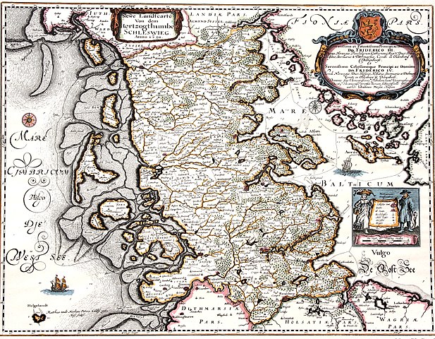
| huidige versie | 25 apr 2011 15:08 | | 2.962 × 2.303 (5,04 MB) | Calvin~commonswiki | {{Information |Description ={{en|1=Map of the Duchy of Schleswig 1650. The map shows the original area of the duchy. Kort over hertugdømmet Slesvig. Kortet viser hertugdømmets oprindelige udstrækning.}} |Source =Map by Johannes Mejer, Husum, |
Bestandsgebruik
Dit bestand wordt op de volgende pagina gebruikt:
Globaal bestandsgebruik
De volgende andere wiki's gebruiken dit bestand:
- Gebruikt op da.wikipedia.org
- Gebruikt op de.wikipedia.org
- Gebruikt op en.wikipedia.org
- Gebruikt op hu.wikipedia.org
- Gebruikt op is.wikipedia.org
- Gebruikt op lv.wikipedia.org