Bestand:Hungary local administration.png
Grootte van deze voorvertoning: 800 × 512 pixels. Andere resoluties: 320 × 205 pixels | 640 × 410 pixels | 1.024 × 656 pixels | 1.280 × 819 pixels | 1.601 × 1.025 pixels.
Oorspronkelijk bestand (1.601 × 1.025 pixels, bestandsgrootte: 126 kB, MIME-type: image/png)
| Dit is een bestand van Wikimedia Commons. Onderstaande beschrijving komt van de beschrijving van het bestand daar. |
Beschrijving
| Beschrijving |
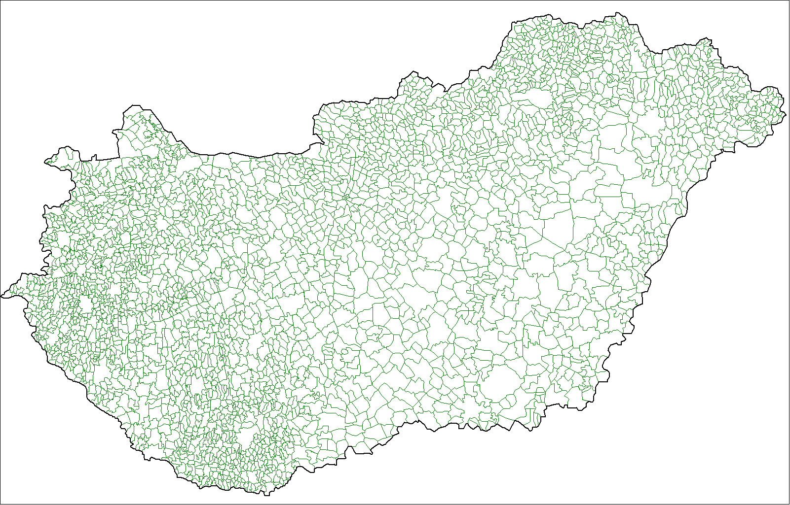
English: Map of the local administrative units of Hungary (városok, községek, and megyei jogú városok). |
| Datum | |
| Bron | Eigen werk, using MapInfo Professional v8.5 and various mapping resources. |
| Auteur | Rarelibra (overleg · bijdragen) |
Licentie
| Dit werk vrijgegeven in het publieke domein door de auteur, I, Rarelibra. Dit is wereldwijd van toepassing. In sommige landen is dit wettelijk niet mogelijk; in die gevallen geldt: I, Rarelibra staat iedereen toe dit werk voor eender welk doel te gebruiken, zonder enige voorwaarden, tenzij zulke voorwaarden door de wet worden voorgeschreven. |
Bestandsgeschiedenis
Klik op een datum/tijd om het bestand te zien zoals het destijds was.
| Datum/tijd | Miniatuur | Afmetingen | Gebruiker | Opmerking | |
|---|---|---|---|---|---|
| huidige versie | 9 jul 2007 19:32 | | 1.601 × 1.025 (126 kB) | Rarelibra | Finished. |
| 30 jun 2007 02:16 |  | 1.025 × 614 (61 kB) | Rarelibra | more updated | |
| 30 jun 2007 01:57 |  | 1.025 × 614 (59 kB) | Rarelibra | ||
| 30 jun 2007 01:56 |  | 1.025 × 614 (59 kB) | Rarelibra | Updated - just a little more to go. | |
| 27 jun 2007 18:06 |  | 1.601 × 1.025 (94 kB) | Rarelibra | Map of the local administrative units of Hungary (városok, községek, and megyei jogú városok). Created by ~~~~ for public domain use, using MapInfo Professional v8.5 and various mapping resources. NOTE: Currently a work-in-progress, will be finishin |
Bestandsgebruik
Dit bestand wordt op de volgende pagina gebruikt:
Globaal bestandsgebruik
De volgende andere wiki's gebruiken dit bestand:
- Gebruikt op bjn.wikipedia.org
- Gebruikt op bn.wikipedia.org
- Gebruikt op ca.wikipedia.org
- Gebruikt op el.wikipedia.org
- Gebruikt op en.wikipedia.org
- Gebruikt op es.wikipedia.org
- Gebruikt op fa.wikipedia.org
- Gebruikt op fr.wikipedia.org
- Gebruikt op id.wikipedia.org
- Gebruikt op it.wikipedia.org
- Gebruikt op ka.wikipedia.org
- Gebruikt op lez.wikipedia.org
- Gebruikt op nn.wikipedia.org
- Gebruikt op ro.wikipedia.org
- Gebruikt op sco.wikipedia.org
- Gebruikt op simple.wikipedia.org
- Gebruikt op sk.wikipedia.org
- Gebruikt op sl.wikipedia.org
- Gebruikt op sr.wikipedia.org
- Gebruikt op uk.wikipedia.org
- Gebruikt op xmf.wikipedia.org
- Gebruikt op zh.wikipedia.org