Bestand:East Timor Satellite.jpg
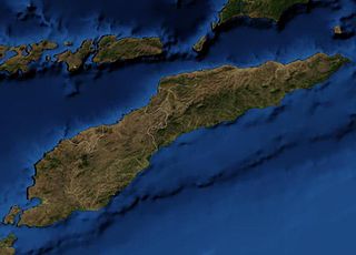
Grootte van deze voorvertoning: 800 × 576 pixels. Andere resoluties: 320 × 230 pixels | 640 × 461 pixels | 913 × 657 pixels.
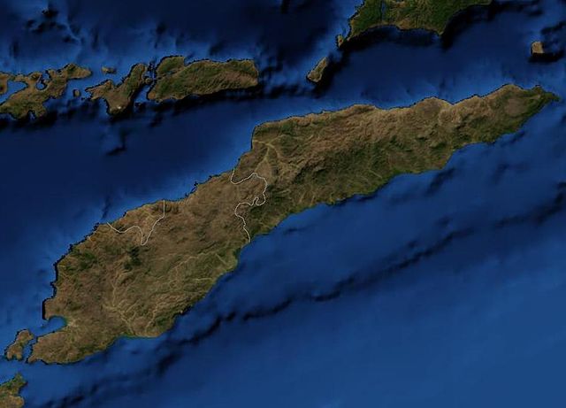
Oorspronkelijk bestand (913 × 657 pixels, bestandsgrootte: 48 kB, MIME-type: image/jpeg)
| Dit is een bestand van Wikimedia Commons. Onderstaande beschrijving komt van de beschrijving van het bestand daar. |
Dit bestand bevindt zich in het publiek domein, omdat it is a mosaic composed by images obtained from OpenLayers (http://openlayers.org)
In het geval dat dit niet wettelijk mogelijk is: Controleer of de opgegeven reden in overeenstemming is met het licentiebeleid van Commons.
|
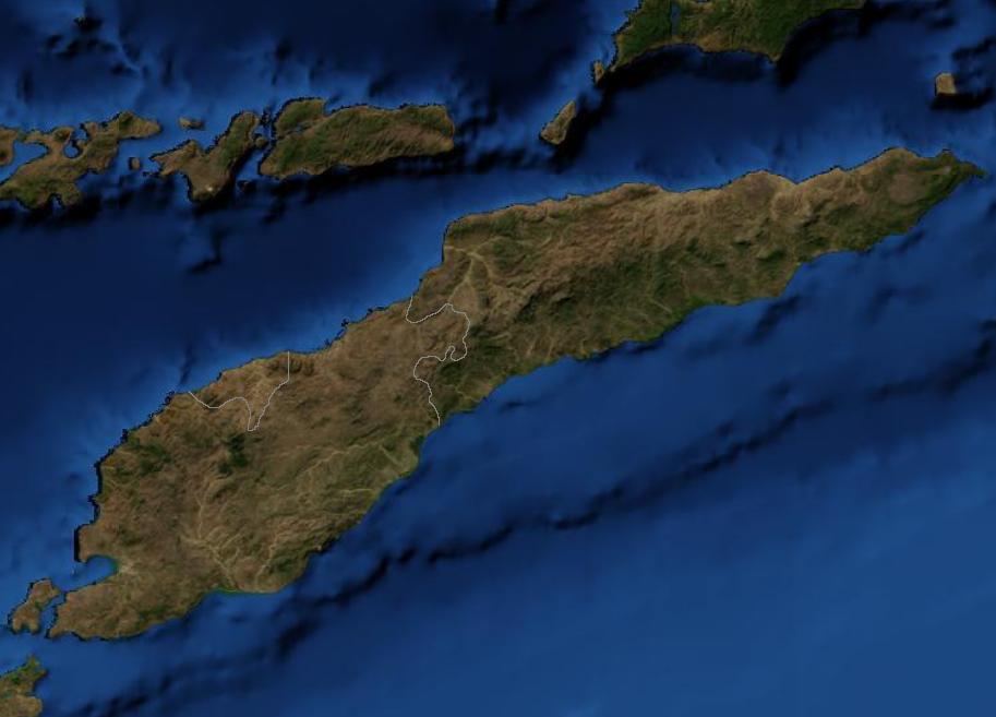
Satellite image of East Timor.
Bestandsgeschiedenis
Klik op een datum/tijd om het bestand te zien zoals het destijds was.
| Datum/tijd | Miniatuur | Afmetingen | Gebruiker | Opmerking | |
|---|---|---|---|---|---|
| huidige versie | 19 mrt 2007 05:39 | | 913 × 657 (48 kB) | Waldyrious | {{PD-because|it is a mosaic composed by images obtained from OpenLayers (http://openlayers.org)}} Satellite image of East Timor. Category:Maps of East Timor |
Bestandsgebruik
Dit bestand wordt op de volgende pagina gebruikt:
Globaal bestandsgebruik
De volgende andere wiki's gebruiken dit bestand:
- Gebruikt op af.wikipedia.org
- Gebruikt op bn.wikipedia.org
- Gebruikt op en.wikipedia.org
- Gebruikt op pl.wiktionary.org
- Gebruikt op pt.wikipedia.org