Bestand:Atlas Mongolica East.png
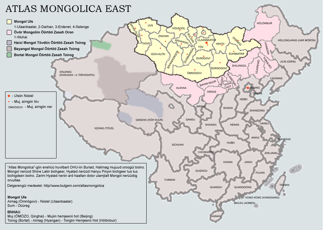
Grootte van deze voorvertoning: 800 × 571 pixels. Andere resoluties: 320 × 228 pixels | 640 × 457 pixels | 1.000 × 714 pixels.
Oorspronkelijk bestand (1.000 × 714 pixels, bestandsgrootte: 355 kB, MIME-type: image/png)
| Dit is een bestand van Wikimedia Commons. Onderstaande beschrijving komt van de beschrijving van het bestand daar. |
Beschrijving
| Beschrijving |
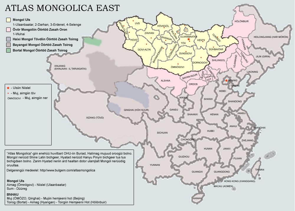
English: Atlas of Eastern Mongols. The map is being in process. Latest version will include Buryatia and Kalmykia; county-level subjects within the PRC. Note that the current version is a draft with some major errors: No Govi-Sümber province of Mongolia and no Wuhai prefecture of Inner Mongolia is present.
The map uses Latin Mongolian. |
| Datum | 23 oktober 2007 (originele uploaddatum) |
| Bron | Verplaatst vanaf en.wikipedia naar Commons door man77. |
| Auteur | Dagvadorj op de Engelstalige Wikipedia |
Licentie
| Dit werk vrijgegeven in het publieke domein door de auteur, Dagvadorj op de Engelstalige Wikipedia. Dit is wereldwijd van toepassing. In sommige landen is dit wettelijk niet mogelijk; in die gevallen geldt: Dagvadorj staat iedereen toe dit werk voor eender welk doel te gebruiken, zonder enige voorwaarden, tenzij zulke voorwaarden door de wet worden voorgeschreven. |
Oorspronkelijk uploadlogboek
De oorspronkelijke beschrijving van deze afbeelding stond hier. Alle volgende gebruikersnamen verwijzen naar en.wikipedia.
- 2007-10-23 08:30 Dagvadorj 1000×714×8 (363781 bytes) Atlas of Eastern Mongols. The map is being in process. Latest version will include Buryatia and Kalmykia; county-level subjects within the PRC. Note that the current version is a draft with some major errors: No Govi-Sümber province of Mongolia and no Wu
Bestandsgeschiedenis
Klik op een datum/tijd om het bestand te zien zoals het destijds was.
| Datum/tijd | Miniatuur | Afmetingen | Gebruiker | Opmerking | |
|---|---|---|---|---|---|
| huidige versie | 11 apr 2008 14:20 | | 1.000 × 714 (355 kB) | File Upload Bot (Magnus Manske) | {{BotMoveToCommons|en.wikipedia}} {{Information |Description={{en|Atlas of Eastern Mongols. The map is being in process. Latest version will include Buryatia and Kalmykia; county-level subjects within the PRC. Note that the current version is a draft wit |
Bestandsgebruik
Dit bestand wordt op de volgende pagina gebruikt:
Globaal bestandsgebruik
De volgende andere wiki's gebruiken dit bestand:
- Gebruikt op el.wikipedia.org
- Gebruikt op es.wikipedia.org
- Gebruikt op fr.wikipedia.org
- Gebruikt op gan.wikipedia.org
- Gebruikt op ja.wikipedia.org
- Gebruikt op ko.wikipedia.org
- Gebruikt op lv.wikipedia.org
- Gebruikt op mk.wikipedia.org
- Gebruikt op mn.wikipedia.org
- Gebruikt op sr.wikipedia.org
- Gebruikt op vi.wikipedia.org
- Gebruikt op zh.wikipedia.org