Bestand:Atlantic Ocean laea location map.svg
Oorspronkelijk bestand(SVG-bestand, nominaal 709 × 865 pixels, bestandsgrootte: 274 kB)


Beschrijving

Beschrijving
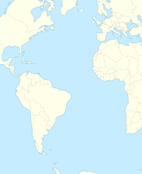
English: Relief location map of Atlantic_Ocean.
  • Projection: Lambert azimuthal equal-area projection.
  • Area of interest:
  • N: 70.0° N
  • S: -70.0° N
  • W: -95.0° E
  • E: 25.0° E
  • Projection center:
  • NS: 0.0° N
  • WE: -35.0° E
  • GMT projection: -JA-35.0/0.0/180/19.998266666666666c
  • GMT region: -R-147.58842045747764/-48.58942183011819/77.58842045747762/48.589421830118205r
  • Land, shoreline and borders: 1:110m Natural Earth Datasets
Datum
Bron Eigen werk
Auteur Tentotwo

Shell script for generating the map using GMT archief kopie op de Wayback Machine

#!/bin/sh

# Set common options
PROJECTION=A-35.0/0.0/180/19.998266666666666c
REGION=-147.58842045747764/-48.58942183011819/77.58842045747762/48.589421830118205r
FILENAME=Atlantic_Ocean_laea_location_map.ps

# Get Natural Earth datafiles
echo "Downloading datafiles from naturalearthdata.com"
wget -nv -nc \
 http://www.naturalearthdata.com/http//www.naturalearthdata.com/download/110m/physical/110m-coastline.zip\
 http://www.naturalearthdata.com/http//www.naturalearthdata.com/download/110m/physical/110m-land.zip\
 http://www.naturalearthdata.com/http//www.naturalearthdata.com/download/110m/cultural/110m-admin-0-boundary-lines.zip
echo "...done\n"

echo "Inflating archives"
unzip 110m\*.zip
echo "...done\n"

echo "Converting shapefiles to GMT"
ogr2ogr -F GMT 110m_land.gmt 110m_land.shp
ogr2ogr -F GMT 110m_coastline.gmt 110m_coastline.shp
ogr2ogr -F GMT 110m_borders.gmt ne_110m_admin_0_boundary_lines_land.shp
echo "...done\n"

echo "Creating maps"
GMT psxy -m -J$PROJECTION -R$REGION -Bg15 -P --PAGE_COLOR=198/236/255  --POLAR_CAP=none --BASEMAP_TYPE=plain --BASEMAP_AXES=NESW --FRAME_PEN=0.15p,black 110m_land.gmt -K -G254/254/233 > $FILENAME
GMT psxy -m -J$PROJECTION -R$REGION 110m_coastline.gmt -O -K -W0.535p,9/120/171  >> $FILENAME
GMT psxy -m -J$PROJECTION -R$REGION 110m_borders.gmt -O -W100/100/100  >> $FILENAME
echo "...done\n"

echo "You can now open $FILENAME in Inkscape to clean up the file and save it as SVG. You should add an ocean coloured background and simplify the graticules using CTRL+L."

gv $FILENAME

Licentie

Ik, de auteursrechthebbende van dit werk, maak het hierbij onder de volgende licentie beschikbaar:
w:nl:Creative Commons
naamsvermelding Gelijk delen
Dit bestand is gelicenseerd onder de Creative Commons-licentie Naamsvermelding-Gelijk delen 3.0 Unported
De gebruiker mag:
  • Delen – het werk kopiëren, verspreiden en doorgeven
  • Remixen – afgeleide werken maken
Onder de volgende voorwaarden:
  • naamsvermelding – U moet op een gepaste manier aan naamsvermelding doen, een link naar de licentie geven, en aangeven of er wijzigingen in het werk zijn aangebracht. U mag dit op elke redelijke manier doen, maar niet zodanig dat de indruk wordt gewekt dat de licentiegever instemt met uw werk of uw gebruik van zijn werk.
  • Gelijk delen – Als u het werk heeft geremixt, veranderd, of erop heeft voortgebouwd, moet u het gewijzigde materiaal verspreiden onder dezelfde licentie als het oorspronkelijke werk, of een daarmee compatibele licentie.

Bijschriften

Beschrijf in één regel wat dit bestand voorstelt

Items getoond in dit bestand

beeldt af

image/svg+xml

75c902a371a76211b93a18f79464b8c2a8bb9dc6

280.599 byte

865 pixel

709 pixel

Bestandsgeschiedenis

Klik op een datum/tijd om het bestand te zien zoals het destijds was.

Datum/tijdMiniatuurAfmetingenGebruikerOpmerking
huidige versie31 jan 2012 23:19Miniatuurafbeelding voor de versie van 31 jan 2012 23:19709 × 865 (274 kB)TentotwoCorrected colour of black sea
31 jan 2012 23:17Miniatuurafbeelding voor de versie van 31 jan 2012 23:17709 × 865 (298 kB)TentotwoIncluded border of South Sudan
31 jan 2012 15:38Miniatuurafbeelding voor de versie van 31 jan 2012 15:38709 × 865 (248 kB)TentotwoRemoved grid line
31 jan 2012 15:36Miniatuurafbeelding voor de versie van 31 jan 2012 15:36709 × 865 (239 kB)Tentotwo

Globaal bestandsgebruik