Bestand:WW Samara Bend - Geocover 2000.png
Grootte van deze voorvertoning: 800 × 585 pixels. Andere resoluties: 320 × 234 pixels | 640 × 468 pixels | 926 × 677 pixels.
Oorspronkelijk bestand (926 × 677 pixels, bestandsgrootte: 1,66 MB, MIME-type: image/png)
| Dit is een bestand van Wikimedia Commons. Onderstaande beschrijving komt van de beschrijving van het bestand daar. |
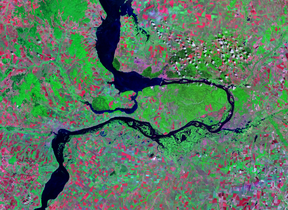
| Beschrijving | Satellite image of the Samara Bend in the Volga River | |||
| Datum | Geocover 2000 dataset | |||
| Bron | Nasa World Wind | |||
| Auteur | Nasa | |||
| Toestemming (Hergebruik van dit bestand) |
|

Bestandsgeschiedenis
Klik op een datum/tijd om het bestand te zien zoals het destijds was.
| Datum/tijd | Miniatuur | Afmetingen | Gebruiker | Opmerking | |
|---|---|---|---|---|---|
| huidige versie | 14 aug 2007 15:28 | | 926 × 677 (1,66 MB) | Hardscarf | |
| 14 aug 2007 15:20 |  | 1.024 × 677 (1,48 MB) | Hardscarf | {{Information |Description=Satellite image of the Samara Bend in the Volga River |Source=Nasa World Wind |Date=Geocover 2000 dataset |Author=Nasa |Permission={{PD-World Wind}} |other_versions= }} Category:Samara Oblast Category:Volga River |
Bestandsgebruik
Dit bestand wordt op de volgende pagina gebruikt:
Globaal bestandsgebruik
De volgende andere wiki's gebruiken dit bestand:
- Gebruikt op be-tarask.wikipedia.org
- Gebruikt op be.wikipedia.org
- Gebruikt op cv.wikipedia.org
- Gebruikt op en.wikipedia.org
- Gebruikt op es.wikipedia.org
- Gebruikt op fr.wikipedia.org
- Gebruikt op hu.wikipedia.org
- Gebruikt op ig.wikipedia.org
- Gebruikt op ja.wikipedia.org
- Gebruikt op la.wikipedia.org
- Gebruikt op mk.wikipedia.org
- Gebruikt op pl.wikipedia.org
- Gebruikt op pt.wikipedia.org
- Gebruikt op ru.wikipedia.org
- Gebruikt op sr.wikipedia.org
- Gebruikt op uk.wikipedia.org
- Gebruikt op www.wikidata.org