Bestand:South Sudan adm location map.svg

Oorspronkelijk bestand (SVG-bestand, nominaal 1.561 × 1.133 pixels, bestandsgrootte: 201 kB)
| Dit is een bestand van Wikimedia Commons. Onderstaande beschrijving komt van de beschrijving van het bestand daar. |
Beschrijving
| Beschrijving |
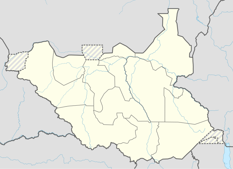
Deutsch: Positionskarte von Südsudan
English: Location map of South Sudan
|
||||||||||||
| Datum | |||||||||||||
| Bron |
Own work using:
|
||||||||||||
| Auteur | NordNordWest | ||||||||||||
| Andere versies |
|
||||||||||||
_adm_location_map.svg)
_adm_location_map.svg)


|
Deze kaart is gemaakt of verbeterd in de Duitse Kartenwerkstatt (Map Lab). Je kunt ook zelf kaarten ter verbetering voorstellen.
|
Licentie
Usage of this file with:

explanatory notes: Legally binding is only the full legalcode. For a free usage I recommend to respect the following licence conditions:
1. Provide my name as given above: NordNordWest,
2. a copy of, or the URI for, the applicable license: https://creativecommons.org/licenses/by-sa/3.0/de/legalcode,
3. the title of the work,
4. in the case of an adaptation, a credit identifying the use of the work in the adaptation.
This license and the rights granted hereunder will terminate automatically upon any breach by you of the terms of this license. Any of the above conditions can be waived if you get permission from the copyright holder. If you have questions or wish differing conditions, please contact me through nnwest or my discussion page ![]() t-online.de
t-online.de
- De gebruiker mag:
- Delen – het werk kopiëren, verspreiden en doorgeven
- Remixen – afgeleide werken maken
- Onder de volgende voorwaarden:
- naamsvermelding – U moet op een gepaste manier aan naamsvermelding doen, een link naar de licentie geven, en aangeven of er wijzigingen in het werk zijn aangebracht. U mag dit op elke redelijke manier doen, maar niet zodanig dat de indruk wordt gewekt dat de licentiegever instemt met uw werk of uw gebruik van zijn werk.
- Gelijk delen – Als u het werk heeft geremixt, veranderd, of erop heeft voortgebouwd, moet u het gewijzigde materiaal verspreiden onder dezelfde licentie als het oorspronkelijke werk, of een daarmee compatibele licentie.

Bestandsgeschiedenis
Klik op een datum/tijd om het bestand te zien zoals het destijds was.
| Datum/tijd | Miniatuur | Afmetingen | Gebruiker | Opmerking | |
|---|---|---|---|---|---|
| huidige versie | 23 apr 2020 20:25 | | 1.561 × 1.133 (201 kB) | Leviavery | Added Pibor and Ruweng Administrative Areas |
| 25 feb 2020 18:16 |  | 1.561 × 1.133 (199 kB) | Myrabert01 | Reverted to version as of 13:47, 25 February 2020 (UTC) South Sudan revert back to 10 States. https://www.aljazeera.com/news/2020/02/6-years-war-peace-finally-south-sudan-200223114919537.html | |
| 25 feb 2020 16:39 |  | 1.561 × 1.133 (213 kB) | NordNordWest | Reverted to version as of 14:39, 13 August 2016 (UTC); no reason for this revert | |
| 25 feb 2020 15:47 |  | 1.561 × 1.133 (199 kB) | Myrabert01 | Reverted to version as of 18:18, 12 November 2014 (UTC). South Sudan revert back to 10 States. | |
| 13 aug 2016 16:39 |  | 1.561 × 1.133 (213 kB) | NordNordWest | corr | |
| 12 aug 2016 14:31 |  | 1.561 × 1.133 (214 kB) | NordNordWest | upd, new states | |
| 12 nov 2014 20:18 |  | 1.561 × 1.133 (199 kB) | NordNordWest | == {{int:filedesc}} == {{Information |Description= {{de|1=Positionskarte von Südsudan}} {{en|1=Location map of South Sudan}} {{Location map series N |stretching=101 |top=12.7 |bottom=3.2 |left=23.15 |right=36.4 }} |Source={{Own using}} * United States... |
Bestandsgebruik
Dit bestand wordt op de volgende 26 pagina's gebruikt:
- Abyei (stad)
- Aweil
- Bentiu
- Bor (Zuid-Soedan)
- Gondokoro
- Juba (Zuid-Soedan)
- Kajo Keji
- Kapoita
- Kodok
- Luchthaven van Juba
- Luchthaven van Yei
- Malakal
- Mangalla
- Maridi
- Ramciel
- Rejaf
- Renk
- Rokon (Zuid-Soedan)
- Rumbek
- Terekeka
- Vliegveld Nimule
- Warrap (stad)
- Wau (Zuid-Soedan)
- Yambio
- Yei
- Sjabloon:Positiekaart Zuid-Soedan
Globaal bestandsgebruik
De volgende andere wiki's gebruiken dit bestand:
- Gebruikt op ab.wikipedia.org
- Gebruikt op af.wikipedia.org
- Gebruikt op an.wikipedia.org
- Gebruikt op av.wikipedia.org
- Gebruikt op azb.wikipedia.org
- Gebruikt op az.wikipedia.org
- Gebruikt op be.wikipedia.org
- Gebruikt op bg.wikipedia.org
- Gebruikt op bn.wikipedia.org
- Gebruikt op bs.wikipedia.org
- Gebruikt op ceb.wikipedia.org
Globaal gebruik van dit bestand bekijken.