Bestand:South Africa topo island.png
Grootte van deze voorvertoning: 780 × 600 pixels. Andere resoluties: 312 × 240 pixels | 624 × 480 pixels | 999 × 768 pixels | 1.280 × 984 pixels | 2.560 × 1.968 pixels | 2.717 × 2.089 pixels.
Oorspronkelijk bestand (2.717 × 2.089 pixels, bestandsgrootte: 3,59 MB, MIME-type: image/png)
| Dit is een bestand van Wikimedia Commons. Onderstaande beschrijving komt van de beschrijving van het bestand daar. |
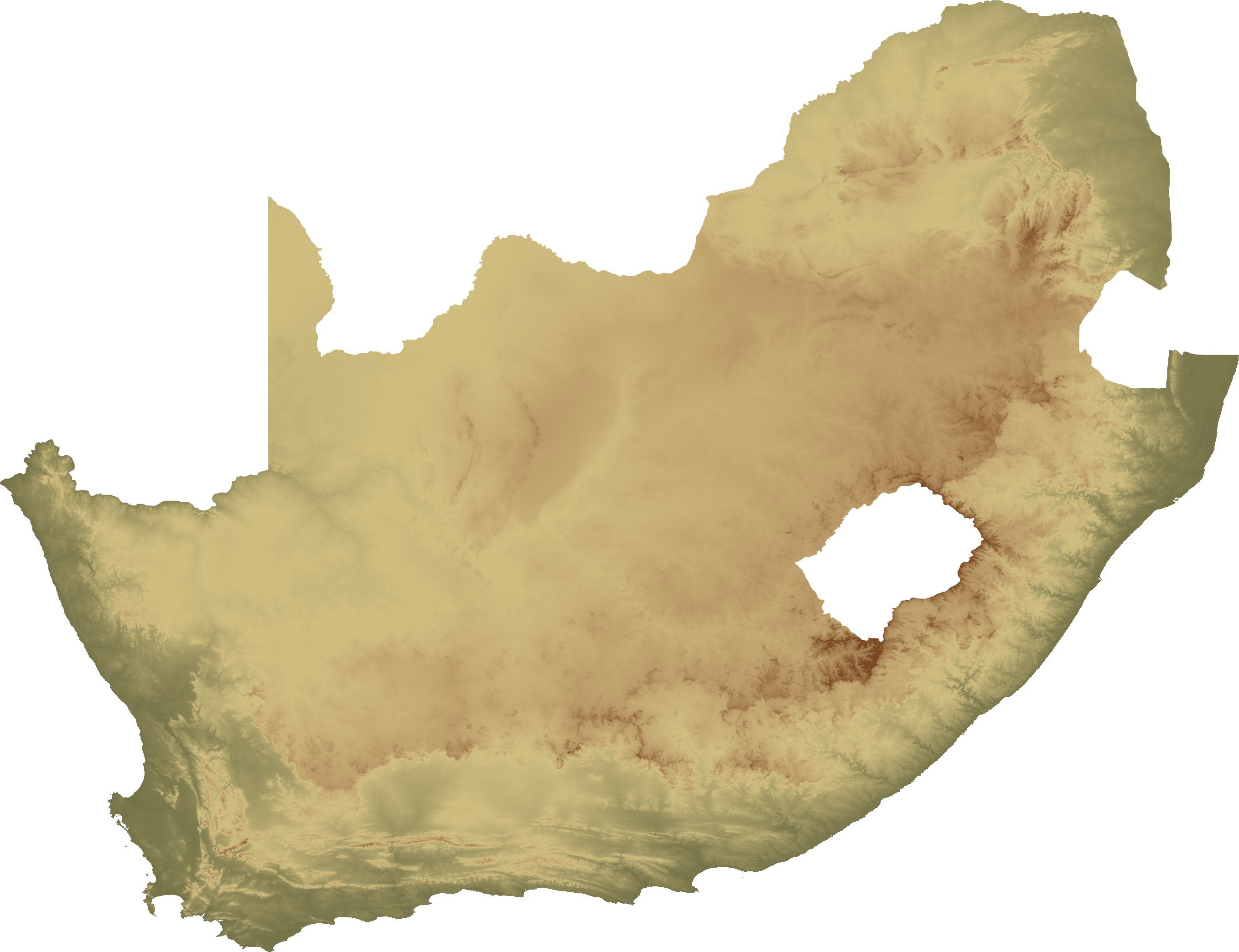
| Beschrijving | Topographical map of South Africa, island version |
| Datum | |
| Bron | Eigen werk |
| Auteur | SFC9394 |
| Toestemming (Hergebruik van dit bestand) |
Topo data from SRTM, NASA PD |
| Andere versies | Image:South Africa topo continent.png |
Dit bestand is gelicenseerd onder de Creative Commons-licentie Naamsvermelding 2.5 Unported
- De gebruiker mag:
- Delen – het werk kopiëren, verspreiden en doorgeven
- Remixen – afgeleide werken maken
- Onder de volgende voorwaarden:
- naamsvermelding – U moet op een gepaste manier aan naamsvermelding doen, een link naar de licentie geven, en aangeven of er wijzigingen in het werk zijn aangebracht. U mag dit op elke redelijke manier doen, maar niet zodanig dat de indruk wordt gewekt dat de licentiegever instemt met uw werk of uw gebruik van zijn werk.
| Aantekeningen | Deze afbeelding is aangetekend: Bekijk de aantekeningen op Commons |
Bestandsgeschiedenis
Klik op een datum/tijd om het bestand te zien zoals het destijds was.
| Datum/tijd | Miniatuur | Afmetingen | Gebruiker | Opmerking | |
|---|---|---|---|---|---|
| huidige versie | 2 feb 2008 21:54 | | 2.717 × 2.089 (3,59 MB) | SFC9394 | {{Information |Description= Topographical map of South Africa, island version |Source=self-made |Date=02-02-08 |Author= SFC9394 |Permission=Topo data from SRTM, NASA PD |other_versions=South Africa topo continent.png }} {{CC-BY-2.5}} |
Bestandsgebruik
Geen enkele pagina gebruikt dit bestand.
Globaal bestandsgebruik
De volgende andere wiki's gebruiken dit bestand:
- Gebruikt op zh.wikipedia.org