Bestand:Paris-map-arr.svg

Afmetingen van deze voorvertoning van het type PNG van dit SVG-bestand: 800 × 575 pixels Andere resoluties: 320 × 230 pixels | 640 × 460 pixels | 1.024 × 736 pixels | 1.280 × 920 pixels | 2.560 × 1.839 pixels | 1.030 × 740 pixels.
Oorspronkelijk bestand (SVG-bestand, nominaal 1.030 × 740 pixels, bestandsgrootte: 26 kB)
| Dit is een bestand van Wikimedia Commons. Onderstaande beschrijving komt van de beschrijving van het bestand daar. |
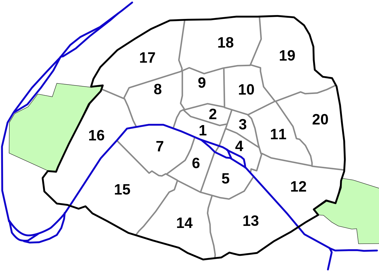
| Beschrijving | a map of paris with all its arrondissements | ||||||||
| Datum | |||||||||
| Bron | created by myself with the help of inkscape and based on a map at http://www.quid.fr/ | ||||||||
| Auteur | Thomas Steiner | ||||||||
| Toestemming (Hergebruik van dit bestand) |
Thomas Steiner put it under the GFDL
|
||||||||
| Andere versies |
perhaps I can learn something from Image:Paris arrondissements.png version with cascading style sheets (easy to colour): File:Paris blank map.svg |

Bestandsgeschiedenis
Klik op een datum/tijd om het bestand te zien zoals het destijds was.
| Datum/tijd | Miniatuur | Afmetingen | Gebruiker | Opmerking | |
|---|---|---|---|---|---|
| huidige versie | 14 jul 2006 16:01 | | 1.030 × 740 (26 kB) | Thire | |
| 14 jul 2006 15:45 |  | 1.000 × 750 (26 kB) | Thire | {{Information| |Description = a map of paris with all its arrondissements |Source = created by myself with the help of inkscape and based on a map at http://www.quid.fr/maps/ |Date = 14 july 2006 |Author = Thomas Steiner |Permission |
Bestandsgebruik
Dit bestand wordt op de volgende 2 pagina's gebruikt:
Globaal bestandsgebruik
De volgende andere wiki's gebruiken dit bestand:
- Gebruikt op az.wikipedia.org
- Gebruikt op ba.wikipedia.org
- Gebruikt op be.wikipedia.org
- Gebruikt op bs.wikipedia.org
- Gebruikt op cs.wikipedia.org
- Gebruikt op da.wikipedia.org
- Gebruikt op de.wikipedia.org
- Gebruikt op eo.wikipedia.org
- Gebruikt op es.wikipedia.org
- Gebruikt op fi.wikipedia.org
- Gebruikt op fr.wikipedia.org
- Gebruikt op he.wikipedia.org
- Gebruikt op hy.wikipedia.org
- Gebruikt op it.wikipedia.org
- Gebruikt op ja.wikipedia.org
- Gebruikt op ko.wikipedia.org
- Gebruikt op la.wikipedia.org
Globaal gebruik van dit bestand bekijken.