Bestand:Noto Peninsula Ishikawa Japan SRTM.jpg

Grootte van deze voorvertoning: 484 × 599 pixels. Andere resoluties: 194 × 240 pixels | 614 × 760 pixels.
Oorspronkelijk bestand (614 × 760 pixels, bestandsgrootte: 95 kB, MIME-type: image/jpeg)
| Dit is een bestand van Wikimedia Commons. Onderstaande beschrijving komt van de beschrijving van het bestand daar. |
Beschrijving
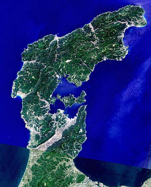
| Beschrijving | Noto Peninsula, Ishikawa, Japan. |
| Datum | |
| Bron | image with high-resolution data from Space Shuttle. |
| Auteur | っ |
Licentie
This image uses high-resolution digital topography data from NASA's Shuttle Radar Topography Mission (SRTM) at JPL-Caltech [1]. It is in the public domain in the United States.
|
 | |
Bestandsgeschiedenis
Klik op een datum/tijd om het bestand te zien zoals het destijds was.
| Datum/tijd | Miniatuur | Afmetingen | Gebruiker | Opmerking | |
|---|---|---|---|---|---|
| huidige versie | 12 jan 2005 07:49 | | 614 × 760 (95 kB) | っ | Noto Peninsula, Ishikawa, Japan. Landsat image with high-resolution data from Space Shuttle. {{GFDL-Landsat-Kashmir3d}} {{SpaceShuttle}} |
Bestandsgebruik
Dit bestand wordt op de volgende pagina gebruikt:
Globaal bestandsgebruik
De volgende andere wiki's gebruiken dit bestand:
- Gebruikt op ar.wikipedia.org
- Gebruikt op az.wikipedia.org
- Gebruikt op ceb.wikipedia.org
- Gebruikt op de.wikipedia.org
- Gebruikt op en.wikipedia.org
- Gebruikt op en.wikivoyage.org
- Gebruikt op es.wikipedia.org
- Gebruikt op et.wikipedia.org
- Gebruikt op eu.wikipedia.org
- Gebruikt op fa.wikipedia.org
- Gebruikt op fr.wikipedia.org
- Gebruikt op fr.wikivoyage.org
- Gebruikt op id.wikipedia.org
- Gebruikt op it.wikipedia.org
- Gebruikt op ja.wikipedia.org
- Gebruikt op ja.wikinews.org
- Gebruikt op km.wikipedia.org
- Gebruikt op ko.wikipedia.org
- Gebruikt op mk.wikipedia.org
- Gebruikt op ms.wikipedia.org
- Gebruikt op pl.wikipedia.org
- Gebruikt op pt.wikipedia.org
- Gebruikt op ru.wikipedia.org
- Gebruikt op simple.wikipedia.org
- Gebruikt op th.wikipedia.org
- Gebruikt op tr.wikipedia.org
- Gebruikt op uk.wikipedia.org
- Gebruikt op vi.wikipedia.org
- Gebruikt op www.wikidata.org
- Gebruikt op zh.wikipedia.org
- Gebruikt op zh.wikivoyage.org