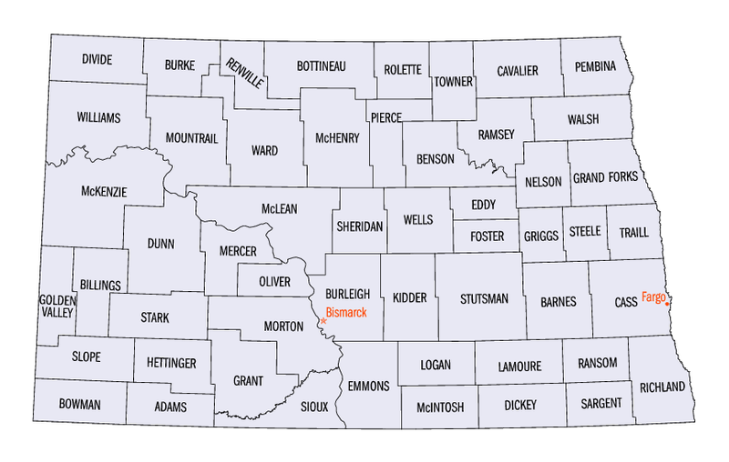
Bestand:North Dakota counties map.png

Grootte van deze voorvertoning: 800 × 508 pixels. Andere resoluties: 320 × 203 pixels | 640 × 406 pixels | 865 × 549 pixels.
Oorspronkelijk bestand (865 × 549 pixels, bestandsgrootte: 69 kB, MIME-type: image/png)
| Dit is een bestand van Wikimedia Commons. Onderstaande beschrijving komt van de beschrijving van het bestand daar. |
This image or file is a work of a United States Census Bureau employee, taken or made as part of that person's official duties. As a work of the U.S. federal government, the image is in the public domain.
|
 |
Bestandsgeschiedenis
Klik op een datum/tijd om het bestand te zien zoals het destijds was.
| Datum/tijd | Miniatuur | Afmetingen | Gebruiker | Opmerking | |
|---|---|---|---|---|---|
| huidige versie | 8 sep 2005 08:51 | | 865 × 549 (69 kB) | Hégésippe Cormier | {{PD-USGov-DOC-Census}} Category:Maps of North Dakota |
| 8 sep 2005 08:42 |  | 320 × 203 (53 kB) | Hégésippe Cormier | {{PD-USGov-DOC-Census}} Category:Maps of North Dakota |
Bestandsgebruik
Dit bestand wordt op de volgende pagina gebruikt:
Globaal bestandsgebruik
De volgende andere wiki's gebruiken dit bestand:
- Gebruikt op bg.wikipedia.org
- Gebruikt op cy.wikipedia.org
- Gebruikt op en.wikipedia.org
- Gebruikt op es.wikipedia.org
- Gebruikt op fr.wikipedia.org
- Gebruikt op gl.wikipedia.org
- Gebruikt op he.wikipedia.org
- Gebruikt op hu.wikipedia.org
- Gebruikt op it.wikipedia.org
- Gebruikt op ja.wikipedia.org
- Gebruikt op ko.wikipedia.org
- Gebruikt op nds.wikipedia.org
- Gebruikt op pl.wikipedia.org
- Gebruikt op pt.wikipedia.org
- Gebruikt op ro.wikipedia.org
- Gebruikt op ru.wikipedia.org
- Gebruikt op sq.wikipedia.org
- Gebruikt op sv.wikipedia.org