Bestand:Lake Pontchartrain Causeway south.jpg
Grootte van deze voorvertoning: 800 × 534 pixels. Andere resoluties: 320 × 214 pixels | 640 × 427 pixels | 1.024 × 683 pixels | 1.500 × 1.001 pixels.
Oorspronkelijk bestand (1.500 × 1.001 pixels, bestandsgrootte: 281 kB, MIME-type: image/jpeg)
| Dit is een bestand van Wikimedia Commons. Onderstaande beschrijving komt van de beschrijving van het bestand daar. |
| Beschrijving |
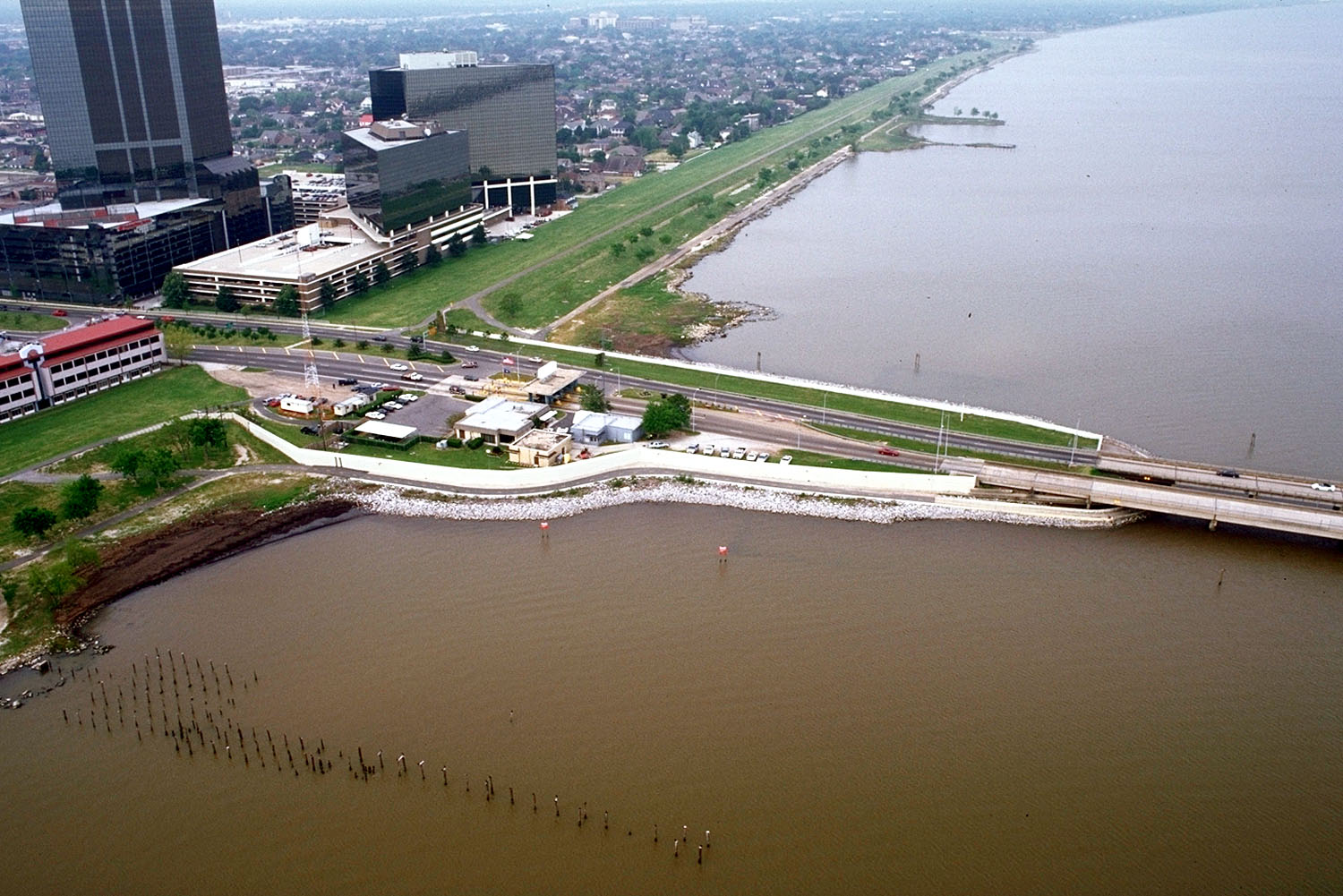
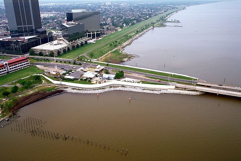
English: The southern end of the Lake Pontchartrain Causeway at Metairie, Louisiana, USA. View is to the southwest near Causeway Boulevard, Metairie. |
|||
| Datum | ||||
| Bron |
U.S. Army Corps of Engineers Digital Visual Library Image page Image description page Digital Visual Library home page |
|||
| Auteur | Arthur Belala, U.S. Army Corps of Engineers | |||
| Toestemming (Hergebruik van dit bestand) |
|
|||
| Locatie | New Orleans, Louisiana, USA |
| Cameralocatie | | Deze en andere afbeeldingen in: OpenStreetMap |
|---|
Bestandsgeschiedenis
Klik op een datum/tijd om het bestand te zien zoals het destijds was.
| Datum/tijd | Miniatuur | Afmetingen | Gebruiker | Opmerking | |
|---|---|---|---|---|---|
| huidige versie | 1 apr 2007 18:59 | | 1.500 × 1.001 (281 kB) | DanMS | {{Information | Description = {{en|The southern end of the Lake Pontchartrain Causeway at New Orleans, Louisiana, USA. View is to the southwest over New Orleans.}} | Source = U.S. Army Corps of Engineers Digital Visual Library<br />[http://imag |
Bestandsgebruik
Dit bestand wordt op de volgende pagina gebruikt:
Globaal bestandsgebruik
De volgende andere wiki's gebruiken dit bestand:
- Gebruikt op ar.wikipedia.org
- Gebruikt op cs.wikipedia.org
- Gebruikt op el.wikipedia.org
- Gebruikt op en.wikipedia.org
- Gebruikt op es.wikipedia.org
- Gebruikt op fa.wikipedia.org
- Gebruikt op fi.wikipedia.org
- Gebruikt op fr.wikipedia.org
- Gebruikt op id.wikipedia.org
- Gebruikt op it.wikipedia.org
- Gebruikt op pl.wikipedia.org
- Gebruikt op pt.wikipedia.org
- Gebruikt op sk.wikipedia.org
- Gebruikt op sr.wikipedia.org
- Gebruikt op sw.wikipedia.org
- Gebruikt op tr.wikipedia.org
- Gebruikt op uk.wikipedia.org
- Gebruikt op uz.wikipedia.org
- Gebruikt op vi.wikipedia.org
- Gebruikt op zh-yue.wikipedia.org