Bestand:ID Talaud islands.PNG
Grootte van deze voorvertoning: 800 × 543 pixels. Andere resoluties: 320 × 217 pixels | 640 × 434 pixels | 824 × 559 pixels.
Oorspronkelijk bestand (824 × 559 pixels, bestandsgrootte: 28 kB, MIME-type: image/png)
| Dit is een bestand van Wikimedia Commons. Onderstaande beschrijving komt van de beschrijving van het bestand daar. |
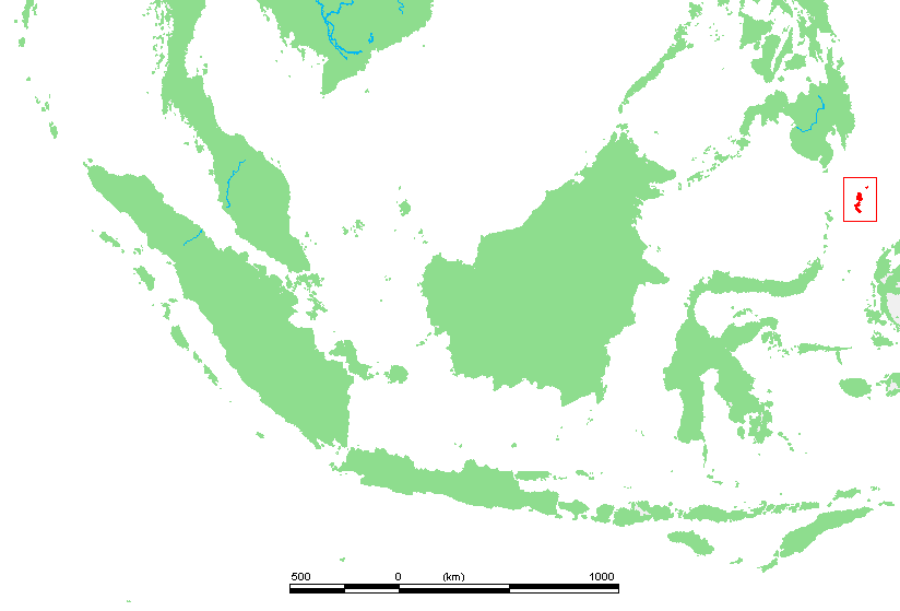
| Beschrijving | Location of :Talaud islands. | ||||
| Bron | own work based on PD map | ||||
| Auteur | edited by M.Minderhoud | ||||
| Toestemming (Hergebruik van dit bestand) |
|
Bestandsgeschiedenis
Klik op een datum/tijd om het bestand te zien zoals het destijds was.
| Datum/tijd | Miniatuur | Afmetingen | Gebruiker | Opmerking | |
|---|---|---|---|---|---|
| huidige versie | 16 apr 2009 13:12 | | 824 × 559 (28 kB) | Telim tor | correct locator map showing the "real" Talaud islands |
| 26 sep 2007 11:44 |  | 670 × 561 (20 kB) | Michiel1972 | ||
| 16 jul 2006 02:47 |  | 670 × 561 (21 kB) | Michiel1972 | {{Information |Description= {{subst:PAGENAME}} |Source= own work based on PD map |Date= |Author= edited by M.Minderhoud |Permission= {{PD-Demis}} |other_versions= }} category:Locator maps of islands in Indonesia |
Bestandsgebruik
Dit bestand wordt op de volgende 2 pagina's gebruikt:
Globaal bestandsgebruik
De volgende andere wiki's gebruiken dit bestand:
- Gebruikt op ar.wikipedia.org
- Gebruikt op arz.wikipedia.org
- Gebruikt op bg.wikipedia.org
- Gebruikt op ca.wikipedia.org
- Gebruikt op ceb.wikipedia.org
- Gebruikt op es.wikipedia.org
- Gebruikt op eu.wikipedia.org
- Gebruikt op fr.wikipedia.org
- Gebruikt op id.wikipedia.org
- Gebruikt op ko.wikipedia.org
- Gebruikt op mrj.wikipedia.org
- Gebruikt op pt.wikipedia.org
- Gebruikt op sv.wikipedia.org
- Gebruikt op th.wikipedia.org
- Gebruikt op www.wikidata.org
- Gebruikt op wuu.wikipedia.org
- Gebruikt op zh.wikipedia.org