Bestand:Great Basin National Park map 2007.04.png

Grootte van deze voorvertoning: 679 × 600 pixels. Andere resoluties: 272 × 240 pixels | 543 × 480 pixels | 869 × 768 pixels | 1.159 × 1.024 pixels | 1.647 × 1.455 pixels.
Oorspronkelijk bestand (1.647 × 1.455 pixels, bestandsgrootte: 649 kB, MIME-type: image/png)
| Dit is een bestand van Wikimedia Commons. Onderstaande beschrijving komt van de beschrijving van het bestand daar. |
Beschrijving
| Beschrijving |
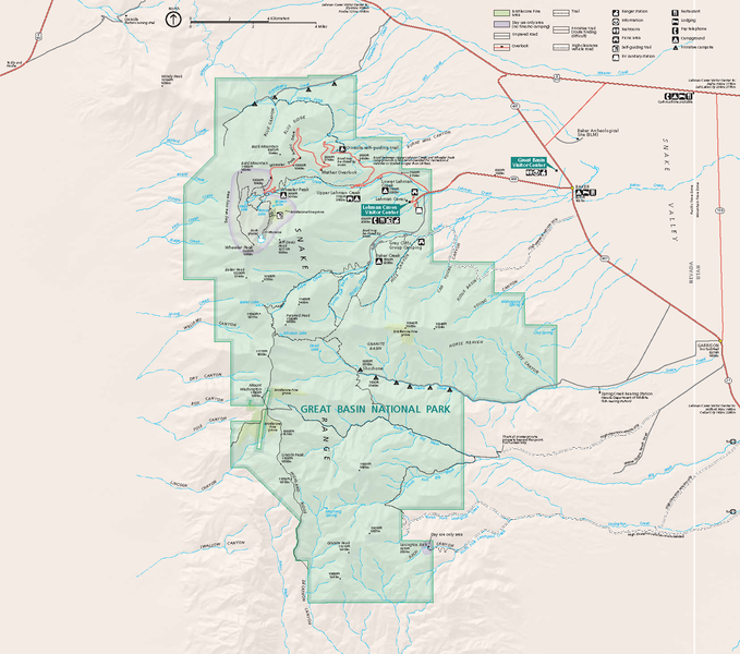
Official National Park Service map — of Great Basin National Park.
GRBAmap1.pdf |
| Datum | |
| Bron | [1] |
| Auteur | National Park Service, Harpers Ferry Center |
| Toestemming (Hergebruik van dit bestand) |
"The maps at this site are in the public domain. You may use National Park Service maps provided that you agree to assume complete legal responsibility for problems resulting from their use. Although National Park Service maps are easy to modify, understand that modifications can adversely alter the meaning and accuracy of the original data. Law prohibits you from using the National Park Service seal or claiming National Park Service endorsement with downloaded maps." [2] |
Licentie
| Dit beeld- of mediabestand bevat materiaal gebaseerd op een werk van een National Park Service medewerker, gemaakt als onderdeel van de officiële taken van die persoon. Als een werk van de Amerikaanse federale overheid, bevindt dergelijk werk zich in het publieke domein in de Verenigde Staten. Zie de NPS website en NPS copyright policy voor meer informatie. |
Bestandsgeschiedenis
Klik op een datum/tijd om het bestand te zien zoals het destijds was.
| Datum/tijd | Miniatuur | Afmetingen | Gebruiker | Opmerking | |
|---|---|---|---|---|---|
| huidige versie | 14 okt 2007 06:48 | | 1.647 × 1.455 (649 kB) | Werewombat | == Summary == {{Information |Description = Official National Park Service map of en:Great Basin National Park, en:Nevada. Converted from PDF using Adobe Acrobat 7.0 Professional. O |
Bestandsgebruik
Dit bestand wordt op de volgende pagina gebruikt:
Globaal bestandsgebruik
De volgende andere wiki's gebruiken dit bestand:
- Gebruikt op cs.wikipedia.org
- Gebruikt op da.wikipedia.org
- Gebruikt op fr.wikipedia.org
- Gebruikt op he.wikipedia.org
- Gebruikt op hu.wikipedia.org
- Gebruikt op is.wikipedia.org
- Gebruikt op pl.wikipedia.org
- Gebruikt op ru.wikipedia.org
- Gebruikt op tr.wikipedia.org