Bestand:European Russia laea relief location map.jpg
Grootte van deze voorvertoning: 454 × 599 pixels. Andere resoluties: 182 × 240 pixels | 364 × 480 pixels | 582 × 768 pixels | 1.181 × 1.558 pixels.
Oorspronkelijk bestand (1.181 × 1.558 pixels, bestandsgrootte: 1,64 MB, MIME-type: image/jpeg)
| Dit is een bestand van Wikimedia Commons. Onderstaande beschrijving komt van de beschrijving van het bestand daar. |
Beschrijving
| Beschrijving |
English:
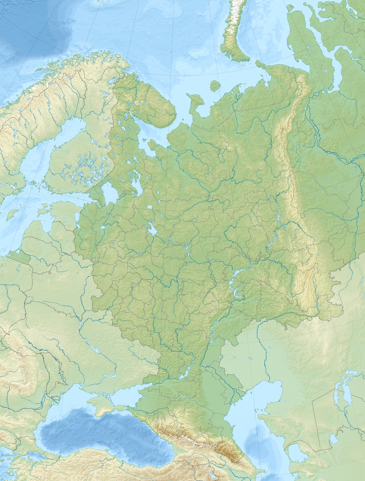
Relief location map of European_Russia.
|
| Datum | |
| Bron | Eigen werk |
| Auteur | Uwe Dedering |
| Andere versies |
|
.jpg)
.jpg)
Licentie
Ik, de auteursrechthebbende van dit werk, maak het hierbij onder de volgende licenties beschikbaar:
Dit bestand is gelicenseerd onder de Creative Commons-licentie Naamsvermelding-Gelijk delen 3.0 Unported
- De gebruiker mag:
- Delen – het werk kopiëren, verspreiden en doorgeven
- Remixen – afgeleide werken maken
- Onder de volgende voorwaarden:
- naamsvermelding – U moet op een gepaste manier aan naamsvermelding doen, een link naar de licentie geven, en aangeven of er wijzigingen in het werk zijn aangebracht. U mag dit op elke redelijke manier doen, maar niet zodanig dat de indruk wordt gewekt dat de licentiegever instemt met uw werk of uw gebruik van zijn werk.
- Gelijk delen – Als u het werk heeft geremixt, veranderd, of erop heeft voortgebouwd, moet u het gewijzigde materiaal verspreiden onder dezelfde licentie als het oorspronkelijke werk, of een daarmee compatibele licentie.

|
Toestemming wordt verleend voor het kopiëren, verspreiden en/of wijzigen van dit document onder de voorwaarden van de GNU-licentie voor vrije documentatie, versie 1.2 of enige latere versie als gepubliceerd door de Free Software Foundation; zonder Invariant Sections, zonder Front-Cover Texts, en zonder Back-Cover Texts. Een kopie van de licentie is opgenomen in de sectie GNU-licentie voor vrije documentatie. |
U mag zelf één van de licenties kiezen.
Bestandsgeschiedenis
Klik op een datum/tijd om het bestand te zien zoals het destijds was.
| Datum/tijd | Miniatuur | Afmetingen | Gebruiker | Opmerking | |
|---|---|---|---|---|---|
| huidige versie | 17 aug 2014 18:46 | | 1.181 × 1.558 (1,64 MB) | Denniss | Reverted to version as of 14:46, 17 August 2014 - upload controversial changes under a new name or this file will be locked. |
| 17 aug 2014 17:33 |  | 1.181 × 1.558 (1,67 MB) | Nicolay Sidorov | Let's think up how to show the territory disputable, and until then we will leave the card of state of the facts | |
| 17 aug 2014 16:46 |  | 1.181 × 1.558 (1,64 MB) | Denniss | Reverted to version as of 10:09, 8 December 2010 -Crimea is taken from Ukraine, at best it is to be shown as disputed | |
| 16 aug 2014 07:26 |  | 1.181 × 1.558 (1,67 MB) | Nicolay Sidorov | +Crimea | |
| 8 dec 2010 12:09 |  | 1.181 × 1.558 (1,64 MB) | Uwe Dedering | initial upload |
Bestandsgebruik
Dit bestand wordt op de volgende 35 pagina's gebruikt:
- Alatyr (rivier)
- Arkaim
- Biosfeerreservaat Wolga-Kama
- Byzovaja
- Eltonmeer
- Gagarino
- Gnjozdovo
- Grot van Kapova
- Grote Bogdo
- Grote Ring van de Oeral
- Kamenny Ambar
- Karpinski (berg)
- Koekoertli-Kolbasji
- Ladogameer
- Mamontovaja Koerja
- Nationaal Park Losiny Ostrov
- Nationaal Park Oegra
- Nationaal Park Orlovskoje Polesje
- Onegameer
- Petrogrom
- Sintasjta
- Slag bij Borodino
- Slag om Stalingrad
- Soengir
- Stuwmeer van Rybinsk
- Zakaznik Karatsjevski
- Zakaznik Kljazminsko-Loechski
- Zakaznik Moeromski
- Zapovednik Brjanski Les
- Zapovednik Kaloezjskië Zaseki
- Zapovednik Prisoerski
- Gebruiker:Joostik/Stenen schuur (nederzetting)
- Wikipedia:De Nulmeridiaan/Archief/2015-4
- Sjabloon:Positiekaart Europees Rusland
- Overleg sjabloon:Positiekaart Europees Rusland
Globaal bestandsgebruik
De volgende andere wiki's gebruiken dit bestand:
- Gebruikt op als.wikipedia.org
- Gebruikt op ar.wikipedia.org
- Gebruikt op azb.wikipedia.org
- Gebruikt op be.wikipedia.org
- Ака
- Сярэднярускае ўзвышша
- Агульны Сырт
- Ловаць
- Стаўрапольскае ўзвышша
- Дзясна
- Кума
- Волхаў
- Таганрогскі заліў
- Вага (рака)
- Уфа (рака)
- Паўднёвы Урал
- Шаблон:На карце/Расія Еўрапейская частка
- Пячорская нізіна
- Кільмезь
- Міяс (рака)
- Варона (прыток Хапра)
- Вялікі Узень
- Няцёша
- Малы Узень
- Усмань (рака)
- Мста
- Таўда (рака)
- Піжма (прыток Вяткі)
- Мядзведзіца (прыток Дона)
- Ік (рака)
- Вазузскае вадасховішча
- Сок (рака)
- Паўлаўскае вадасховішча
- Луза (рака)
- Кобра (рака)
- Водлвозера
- Малка (прыток Церака)
- Урух (рака)
- Чапца
- Кунья (прыток Ловаці)
- Аргазінскае вадасховішча
- Карпаўскае вадасховішча
- Нарадная
- Катаў
- Егарлык
- Сумганская пячора
- Gebruikt op bg.wikipedia.org
Globaal gebruik van dit bestand bekijken.