Bestand:East Dunbartonshire UK location map.svg

Afmetingen van deze voorvertoning van het type PNG van dit SVG-bestand: 668 × 600 pixels Andere resoluties: 267 × 240 pixels | 535 × 480 pixels | 856 × 768 pixels | 1.141 × 1.024 pixels | 2.282 × 2.048 pixels | 1.425 × 1.279 pixels.
Oorspronkelijk bestand (SVG-bestand, nominaal 1.425 × 1.279 pixels, bestandsgrootte: 834 kB)
| Dit is een bestand van Wikimedia Commons. Onderstaande beschrijving komt van de beschrijving van het bestand daar. |
| Beschrijving |
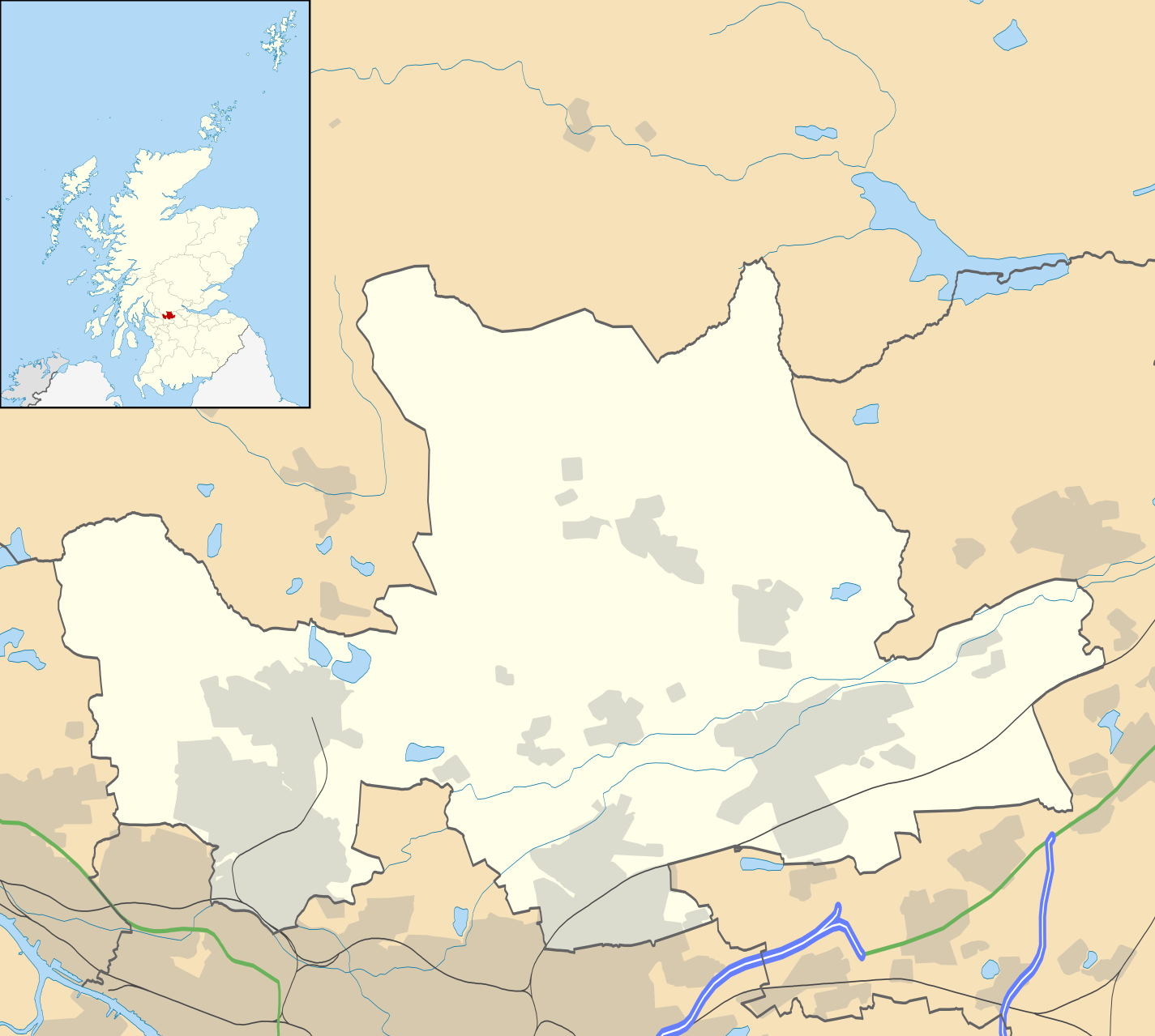
Blank map of East Dunbartonshire, UK with the following information shown:
Equirectangular map projection on WGS 84 datum, with N/S stretched 175% Geographic limits:
|
| Datum | |
| Bron |
|
| Auteur | Nilfanion, created using Ordnance Survey data |
| Toestemming (Hergebruik van dit bestand) |
Dit bestand is gelicenseerd onder de Creative Commons-licentie Naamsvermelding-Gelijk delen 3.0 Unported Naamsvermelding: Contains Ordnance Survey data © Crown copyright and database right
|
| Andere versies | File:East Dunbartonshire UK blank map.svg - Blank map |
Bestandsgeschiedenis
Klik op een datum/tijd om het bestand te zien zoals het destijds was.
| Datum/tijd | Miniatuur | Afmetingen | Gebruiker | Opmerking | |
|---|---|---|---|---|---|
| huidige versie | 26 sep 2010 22:12 | | 1.425 × 1.279 (834 kB) | Nilfanion | {{Information |Description=Blank map of East Dunbartonshire, UK with the following information shown: *Administrative borders *Coastline, lakes and rivers *Roads and railways *Urban areas Equirectangular map projection on WGS 84 |
Bestandsgebruik
Dit bestand wordt op de volgende 14 pagina's gebruikt:
Globaal bestandsgebruik
De volgende andere wiki's gebruiken dit bestand:
- Gebruikt op ar.wikipedia.org
- Gebruikt op bg.wikipedia.org
- Gebruikt op ceb.wikipedia.org
- Gebruikt op de.wikipedia.org
- Gebruikt op en.wikipedia.org
- Milngavie
- East Dunbartonshire
- Bishopbriggs
- Bearsden
- Kirkintilloch
- Lenzie
- Cadder
- Colston, Glasgow
- Twechar
- Baldernock
- Torrance, East Dunbartonshire
- Lennoxtown
- Balmore
- Birdston
- Auchinairn
- Auchenreoch
- Waterside, East Dunbartonshire
- Woodilee Hospital
- Clachan of Campsie
- Milton of Campsie
- Module:Location map/data/Scotland East Dunbartonshire/doc
- Auld Aisle Cemetery
- Kirkintilloch Town Hall
- Haughhead
- Woodilee Village
- Bardowie
- Barnellan
- Module:Location map/data/Scotland East Dunbartonshire
- Broomhill Hospital
- Canniesburn Hospital
- Gebruikt op eo.wikipedia.org
- Gebruikt op es.wikipedia.org
- Gebruikt op fa.wikipedia.org
- Gebruikt op fr.wikipedia.org
Globaal gebruik van dit bestand bekijken.