Bestand:Dresba.jpg
Grootte van deze voorvertoning: 750 × 600 pixels. Andere resoluties: 300 × 240 pixels | 600 × 480 pixels | 958 × 766 pixels.
Oorspronkelijk bestand (958 × 766 pixels, bestandsgrootte: 54 kB, MIME-type: image/jpeg)
| Dit is een bestand van Wikimedia Commons. Onderstaande beschrijving komt van de beschrijving van het bestand daar. |
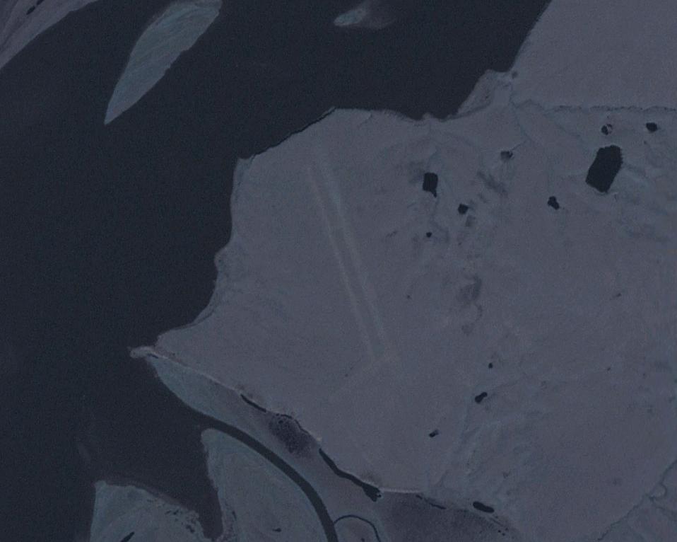
| Beschrijving | Dresba airfield, former Soviet Union (east of the Kolyma river, near the settlement of Mikhalkino). | |||
| Datum | Datum onbekend | |||
| Bron | Image from NASA World Wind. | |||
| Auteur | NASA | |||
| Toestemming (Hergebruik van dit bestand) |
|

Bestandsgeschiedenis
Klik op een datum/tijd om het bestand te zien zoals het destijds was.
| Datum/tijd | Miniatuur | Afmetingen | Gebruiker | Opmerking | |
|---|---|---|---|---|---|
| huidige versie | 3 jan 2010 20:43 | | 958 × 766 (54 kB) | Hardscarf | {{Information |Description=Dresba airfield, former Soviet Union (east of the Kolyma river, near the settlement of Mikhalkino). |Source=Image from NASA World Wind. |Date=n/a |Author=NASA |Permission={{PD-USGov-NASA}} |other_versions= }} [[Category:Soviet a |
Bestandsgebruik
Dit bestand wordt op de volgende pagina gebruikt:
Globaal bestandsgebruik
De volgende andere wiki's gebruiken dit bestand:
- Gebruikt op es.wikipedia.org
- Gebruikt op fa.wikipedia.org
- Gebruikt op tg.wikipedia.org
- Gebruikt op www.wikidata.org