Bestand:Cornwall UK relief location map.jpg

Grootte van deze voorvertoning: 800 × 588 pixels. Andere resoluties: 320 × 235 pixels | 640 × 470 pixels | 1.024 × 753 pixels | 1.280 × 941 pixels | 1.999 × 1.469 pixels.
Oorspronkelijk bestand (1.999 × 1.469 pixels, bestandsgrootte: 227 kB, MIME-type: image/jpeg)
| Dit is een bestand van Wikimedia Commons. Onderstaande beschrijving komt van de beschrijving van het bestand daar. |
| Beschrijving |
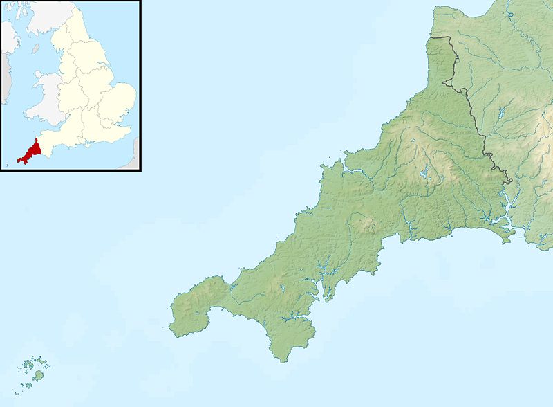
Relief map of Cornwall, UK. Equirectangular map projection on WGS 84 datum, with N/S stretched 150% Geographic limits:
|
| Datum | |
| Bron |
|
| Auteur | Nilfanion, created using Ordnance Survey data |
| Toestemming (Hergebruik van dit bestand) |
Dit bestand is gelicenseerd onder de Creative Commons-licentie Naamsvermelding-Gelijk delen 3.0 Unported Naamsvermelding: Contains Ordnance Survey data © Crown copyright and database right
|
| Andere versies |
File:Cornwall UK district map (blank).svg - Blank map File:Cornwall UK mainland relief location map.jpg - Without Isles of Scilly |
.svg)
Bestandsgeschiedenis
Klik op een datum/tijd om het bestand te zien zoals het destijds was.
| Datum/tijd | Miniatuur | Afmetingen | Gebruiker | Opmerking | |
|---|---|---|---|---|---|
| huidige versie | 29 nov 2011 03:23 | | 1.999 × 1.469 (227 kB) | Nilfanion | {{Information |Description=Relief map of Cornwall, UK. Equirectangular map projection on WGS 84 datum, with N/S stretched 150% Geographic limits: *West: 6.47W *East: 4.00W *North: 51.04N *South: 49.83N |Source=[[w:Ordnance Survey|Ordnance |
Bestandsgebruik
Dit bestand wordt op de volgende 21 pagina's gebruikt:
- Annet (Scilly-eilanden)
- Bryher
- Crim Rocks
- Great Ganilly
- Gugh
- Gweal
- Longships
- Men-a-vaur
- Mên-an-Tol
- Norrard Rocks
- Round Island (Scilly-eilanden)
- Samson (Scilly-eilanden)
- St. Agnes (Scilly-eilanden)
- St. Helen's
- St. Martin's (Scilly-eilanden)
- St. Mary's (Scilly-eilanden)
- Teän
- Tresco (eiland)
- White Island (Scilly-eilanden)
- Zantman's Rock
- Sjabloon:Positiekaart Cornwall
Globaal bestandsgebruik
De volgende andere wiki's gebruiken dit bestand:
- Gebruikt op ar.wikipedia.org
- Gebruikt op bg.wikipedia.org
- Gebruikt op ceb.wikipedia.org
- Gebruikt op cs.wikipedia.org
- Gebruikt op en.wikipedia.org
- Battle of Lostwithiel
- Longships, Cornwall
- Pentire Head
- Drift Reservoir
- St Mary's Lifeboat Station
- Kynance Cove
- Tintagel Old Post Office
- Dozmary Pool
- Tournament Players Championship (United Kingdom)
- Cornwall and West Devon Mining Landscape
- Padstow Lifeboat Station
- Hayle Estuary
- Module:Location map/data/United Kingdom Cornwall/doc
- Dodman Point
- Stepper Point
- Porth Reservoir
- Crowdy Reservoir
- Cribbar
- The Lizard Lifeboat Station
- Colliford Lake
- Falmouth Lifeboat Station
- Fowey Lifeboat Station
- St Ives Lifeboat Station
- Penlee Lifeboat Station
- Sennen Cove Lifeboat Station
- The Loe
- Stithians Reservoir
- Treverbyn Vean
- Helman Tor
- Upper Tamar Lake
- St Agnes Lifeboat Station, Isles of Scilly
- Port Isaac Lifeboat Station
- Basset Mines
- Carnon River
- Module:Location map/data/United Kingdom Cornwall
- Module:Location map/data/Cornwall
- Newquay Bay
- Looe Lifeboat Station
Globaal gebruik van dit bestand bekijken.