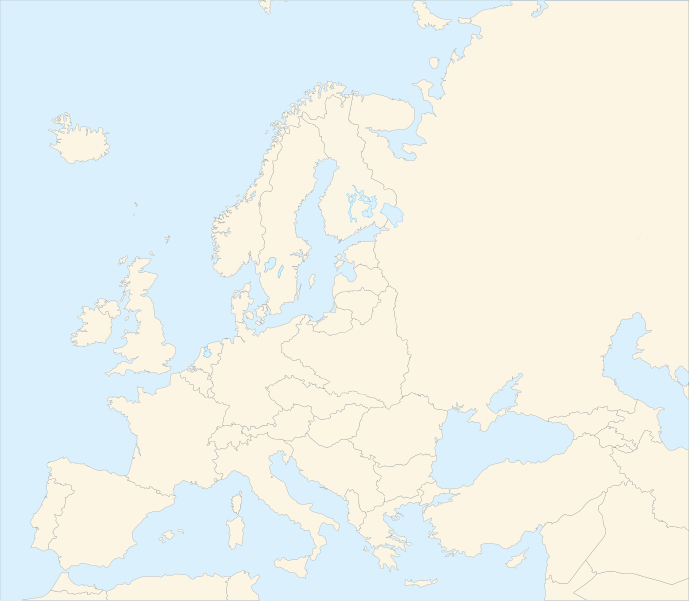
Bestand:Blank map of Europe in 1920.svg

Afmetingen van deze voorvertoning van het type PNG van dit SVG-bestand: 689 × 600 pixels Andere resoluties: 276 × 240 pixels | 552 × 480 pixels | 882 × 768 pixels | 1.177 × 1.024 pixels | 2.353 × 2.048 pixels | 841 × 732 pixels.
Oorspronkelijk bestand (SVG-bestand, nominaal 841 × 732 pixels, bestandsgrootte: 541 kB)
| Dit is een bestand van Wikimedia Commons. Onderstaande beschrijving komt van de beschrijving van het bestand daar. |
| Beschrijving |
Français : Carte vierge de l'Europe en 1920, couleurs Atelier Graphique English: Blank map of Europe in 1920 with Atelier graphique colors |
| Datum | (UTC) |
| Bron | |
| Auteur |
|
| Andere versies |
Afgeleide werken van dit bestand: |
| Dit is een geretoucheerde foto, wat betekent dat de originele versie digitaal aangepast is. Aanpassingen: shifted borders to 1920. Het origineel kan hier bekeken worden: Blank map of Europe - Atelier graphique colors.svg.
|

Dit bestand is gelicenseerd onder de Creative Commons-licentie Naamsvermelding-Gelijk delen 3.0 Unported
- De gebruiker mag:
- Delen – het werk kopiëren, verspreiden en doorgeven
- Remixen – afgeleide werken maken
- Onder de volgende voorwaarden:
- naamsvermelding – U moet op een gepaste manier aan naamsvermelding doen, een link naar de licentie geven, en aangeven of er wijzigingen in het werk zijn aangebracht. U mag dit op elke redelijke manier doen, maar niet zodanig dat de indruk wordt gewekt dat de licentiegever instemt met uw werk of uw gebruik van zijn werk.
- Gelijk delen – Als u het werk heeft geremixt, veranderd, of erop heeft voortgebouwd, moet u het gewijzigde materiaal verspreiden onder dezelfde licentie als het oorspronkelijke werk, of een daarmee compatibele licentie.

|
Dit SVG-bestand maakt gebruik van geïntegreerde tekst die gemakkelijk kan worden vertaald naar uw taal met een SVG editor, een tekstverwerker of het hulpmiddel SVG Translate. Uitleg |
Oorspronkelijk uploadlogboek
This image is a derivative work of the following images:
- Image:Blank_map_of_Europe_-_Atelier_graphique_colors.svg licensed with Cc-by-sa-2.5,2.0,1.0, GFDL
- 2007-09-16T15:08:27Z Historicair 841x731 (495651 Bytes) '
- 2007-09-13T16:36:42Z Historicair 841x731 (495370 Bytes) {{Information |Description={{fr|Carte vierge de l'Europe, couleurs Atelier Graphique}} {{en|Blank map of Europe with Atelier graphique colors}} |Source=[[:Image:Europe countries.svg]] by [[User:Tintazul|Tintazul]] |Date=13/09
Uploaded with derivativeFX
Bestandsgeschiedenis
Klik op een datum/tijd om het bestand te zien zoals het destijds was.
| Datum/tijd | Miniatuur | Afmetingen | Gebruiker | Opmerking | |
|---|---|---|---|---|---|
| huidige versie | 20 aug 2010 06:42 | | 841 × 732 (541 kB) | Editor at Large | Reverted to version as of 16:11, 23 June 2008 - error in file |
| 20 aug 2010 03:30 |  | 689 × 600 (2 kB) | Maps & Lucy | Fixed serious error with Baltic Sea on the German border with it, fixed the border of Germany with Poland, fixed the border of Poland with the Russian SFSR, and corrected the assimulation of three southern Caucasus countries which had been assimulated int | |
| 23 jun 2008 18:11 |  | 841 × 732 (541 kB) | Themightyquill | ||
| 16 jun 2008 17:46 |  | 841 × 732 (534 kB) | Themightyquill | ||
| 16 jun 2008 17:27 |  | 841 × 732 (531 kB) | Themightyquill | ||
| 16 jun 2008 04:32 |  | 841 × 732 (562 kB) | Themightyquill | {{Information |Description={{fr|Carte vierge de l'Europe en 1920, couleurs Atelier Graphique}} {{en|Blank map of Europe in 1920 with Atelier graphique colors}} |Source=*Image:Blank_map_of_Europe_-_Atelier_graphique_colors.svg |Date=2008-06-16 02:31 |
Bestandsgebruik
Geen enkele pagina gebruikt dit bestand.
Globaal bestandsgebruik
De volgende andere wiki's gebruiken dit bestand:
- Gebruikt op cs.wikipedia.org
- Gebruikt op en.wikipedia.org
- Gebruikt op fr.wikipedia.org