Bestand:Aberdeenshire UK location map.svg

Afmetingen van deze voorvertoning van het type PNG van dit SVG-bestand: 682 × 600 pixels Andere resoluties: 273 × 240 pixels | 546 × 480 pixels | 873 × 768 pixels | 1.165 × 1.024 pixels | 2.329 × 2.048 pixels | 1.425 × 1.253 pixels.
Oorspronkelijk bestand (SVG-bestand, nominaal 1.425 × 1.253 pixels, bestandsgrootte: 1,84 MB)
| Dit is een bestand van Wikimedia Commons. Onderstaande beschrijving komt van de beschrijving van het bestand daar. |
| Beschrijving |
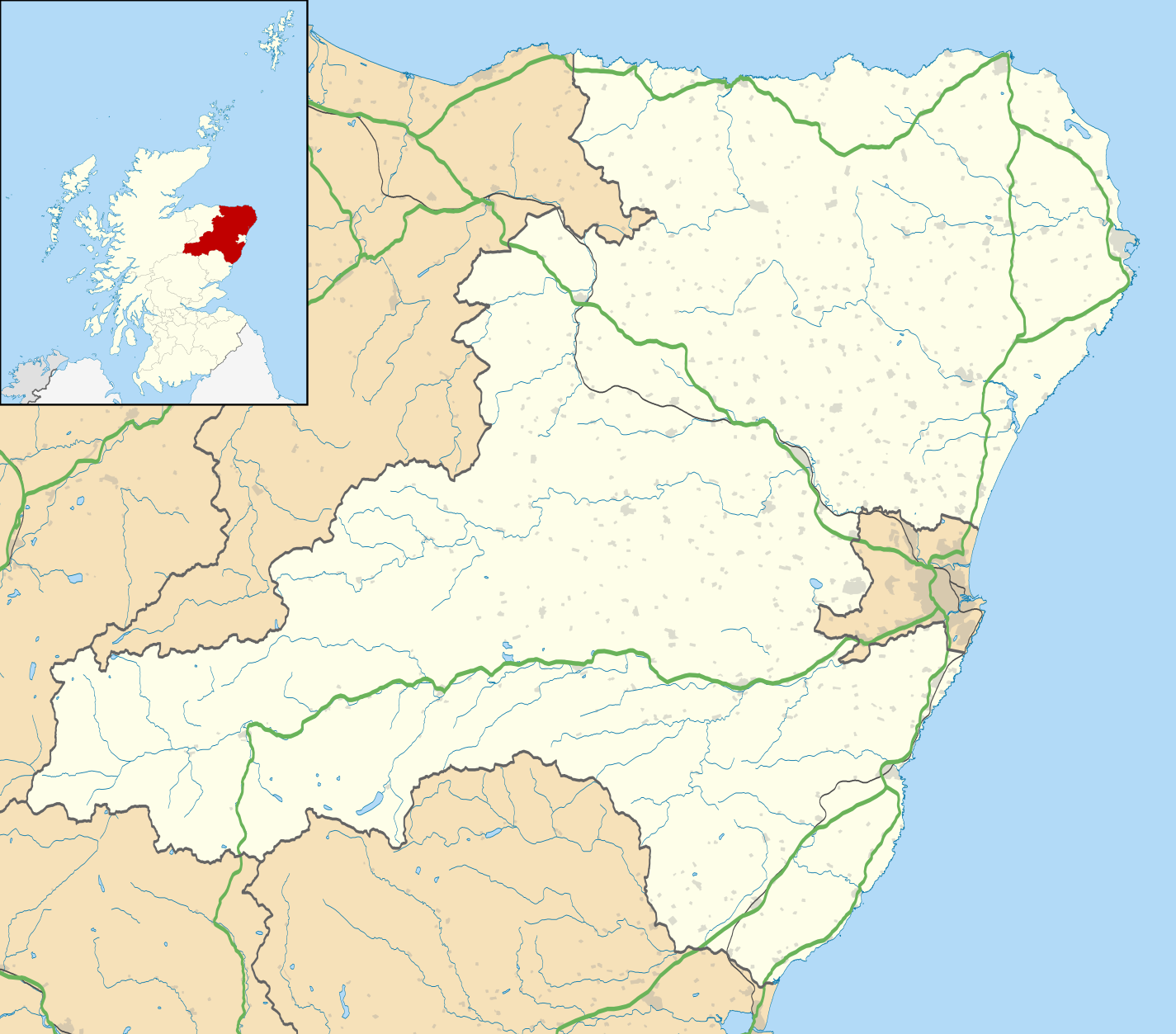
Blank map of Aberdeenshire, UK with the following information shown:
Equirectangular map projection on WGS 84 datum, with N/S stretched 180% Geographic limits:
|
| Datum | |
| Bron |
|
| Auteur | Nilfanion, created using Ordnance Survey data |
| Toestemming (Hergebruik van dit bestand) |
Dit bestand is gelicenseerd onder de Creative Commons-licentie Naamsvermelding-Gelijk delen 3.0 Unported Naamsvermelding: Contains Ordnance Survey data © Crown copyright and database right
|
| Andere versies | File:Aberdeenshire UK blank map.svg - Blank map |
Bestandsgeschiedenis
Klik op een datum/tijd om het bestand te zien zoals het destijds was.
| Datum/tijd | Miniatuur | Afmetingen | Gebruiker | Opmerking | |
|---|---|---|---|---|---|
| huidige versie | 26 sep 2010 21:59 | | 1.425 × 1.253 (1,84 MB) | Nilfanion | {{Information |Description=Blank map of Aberdeenshire, UK with the following information shown: *Administrative borders *Coastline, lakes and rivers *Roads and railways *Urban areas Equirectangular map projection on WGS 84 datum, with |
Bestandsgebruik
Dit bestand wordt op de volgende 16 pagina's gebruikt:
Globaal bestandsgebruik
De volgende andere wiki's gebruiken dit bestand:
- Gebruikt op ar.wikipedia.org
- Gebruikt op az.wikipedia.org
- Gebruikt op ba.wikipedia.org
- Gebruikt op bg.wikipedia.org
- Gebruikt op ceb.wikipedia.org
- Gebruikt op de.wikipedia.org
- Gebruikt op en.wikipedia.org
- Aberdeenshire
- Balmoral Castle
- List of monastic houses in Scotland
- Stonehaven
- Fraserburgh
- Battle of Lumphanan
- Huntly
- Portsoy
- Inverurie
- Banchory
- Ballater
- Bellabeg
- Dunnottar Castle
- Braemar Castle
- Drum Castle
- Crathes Castle
- Kildrummy Castle
- Huntly Castle
- New Slains Castle
- Westhill, Aberdeenshire
- Rosehearty
- Braemar
- RAF Buchan
- Fettercairn
- Tarland
- Ellon, Aberdeenshire
- Aboyne
- Aberchirder
- Newburgh, Aberdeenshire
- Cruden Bay
- Turriff
- Fyvie
- Alford, Aberdeenshire
- Kintore, Aberdeenshire
Globaal gebruik van dit bestand bekijken.